SK200 High Performance GNSS – Aided Integrated Navigation System
– High Accuracy: Velocity < 0.05m/s
Attitude (Dynamic): Heading 0.2°, Pitch and Roll 0.1°(1σ)
Horizontal Position < 1m, Vertical Position < 1.5m (RMS)
– Bias Instability (Allan): Gyro 3°/h, Accel 80ug
– Real-time Gyro and Accel Bias Tracking and Compensation
– Data Output Rate: INS 100Hz, IMU 800Hz
– Full Temperature Range Sensor Calibration
– Superior SWaP Performance: 24×22×3.8 mm, < 4g, <445mW
– Working Temperature: -40~+85°C
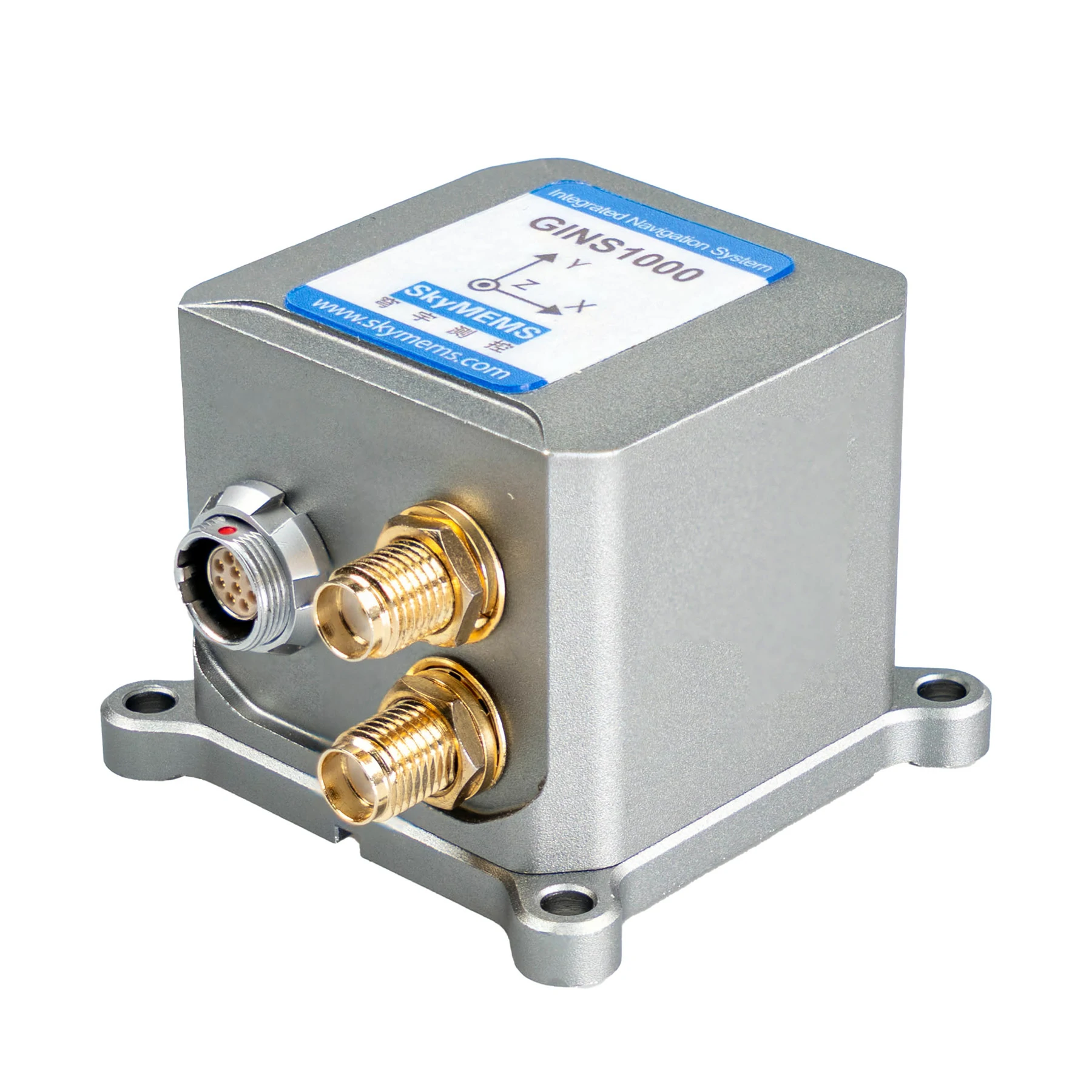
GINS1000 High Performance GNSS – Aided Integrated Navigation System
– Multi-constellation, Full-frequency GNSS Receiver
– High Tracking Sensitivity for Complicated Environment
– High Accuracy: Yaw up to 0.1°, Pitch/Roll: 0.08° (rms), Velocity ≤ 0.03m/s, Position ≤ 2cm (rms, RTK)
– Supports external RTK correction input, greater flexibility
– High Reliability, Strong Vibration and Shock Resistance
– Multiple Interfaces: RS232, RS422
– Adjustable Bandwidth and Protocol ODM Supported
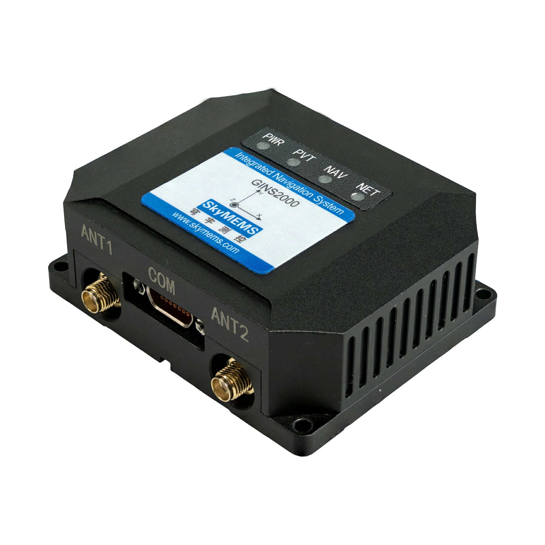
High Performance rugged GNSS aided inertial system, widely used in unmanned aerial vehicle (UAV), autonomous vehicle, etc.
– Multi-constellation, Full-frequency GNSS Receiver
– High Tracking Sensitivity for Complicated Environment
– High Accuracy: Yaw up to 0.1°, Pitch/Roll:
0.08° (rms), Velocity ≤ 0.03m/s, Position ≤ 2cm (rms, RTK)
– Certified anti-jamming ensures continuous positioning
– High Reliability, Strong Vibration and Shock Resistance
– Multiple Interfaces: RS232, RS422
– Adjustable Bandwidth and Protocol ODM Supported

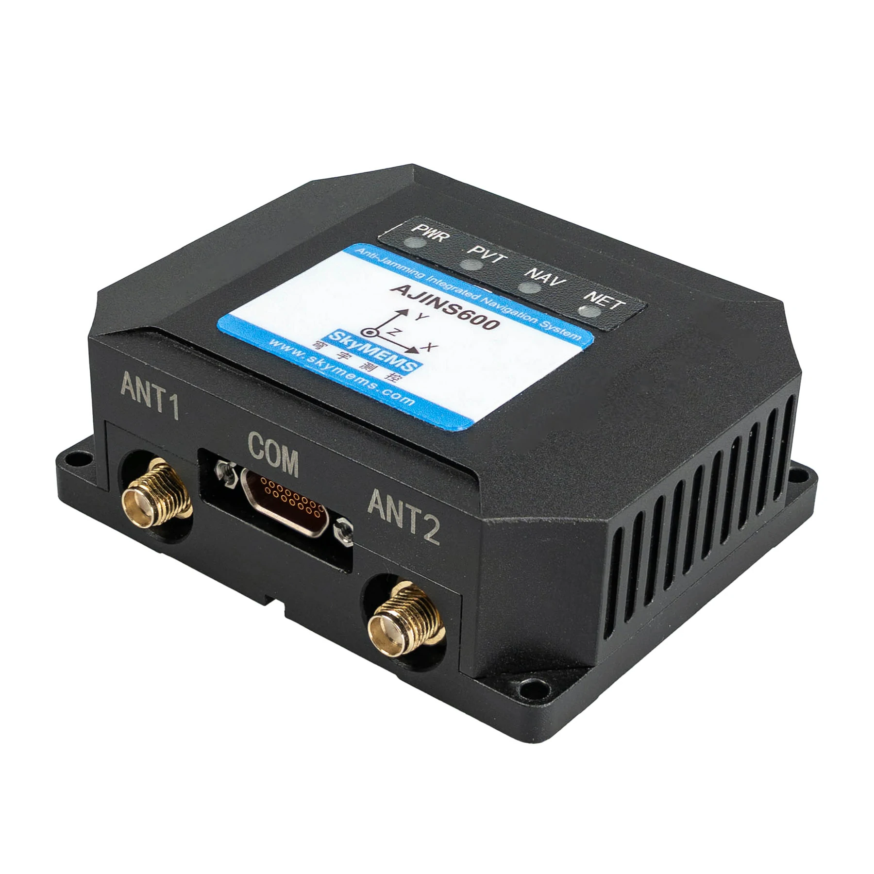
highly precise attitude determination system, based on 4 groups of GNSS receivers, widely used in the surface craft.