

A GNSS-aided inertial system combines satellite-based positioning with inertial sensing to provide continuous, high-precision navigation, even in challenging environments.
According to research published in Satellite Navigation and Advances in Space Research, integrating a Global Navigation Satellite System (GNSS) with an Inertial Navigation System (INS) significantly improves positioning accuracy, reliability, and robustness, particularly in dynamic or obstructed environments.
Industry technical resources further confirm that GNSS provides long-term stability, while INS delivers high-frequency motion tracking. Their fusion, typically via Kalman filtering, enables more accurate estimation of position, velocity, and orientation than either system can achieve alone. This hybrid architecture has become the backbone of modern autonomous systems, surveying and defence applications.
Introduction: Why GNSS-Aided Inertial Systems Matter in 2026
By 2026, navigation technology will have evolved beyond simple GPS positioning. Autonomous vehicles, unmanned aerial vehicles (UAVs), robotics, and precision mapping require continuous, reliable, and highly accurate navigation, even in Global Navigation Satellite System (GNSS)-denied or degraded environments.
This is where the GNSS-aided inertial system becomes indispensable. By combining satellite signals with inertial sensors, such as accelerometers and gyroscopes, these systems provide stable navigation in conditions that would cause standalone GNSS or INS to fail.
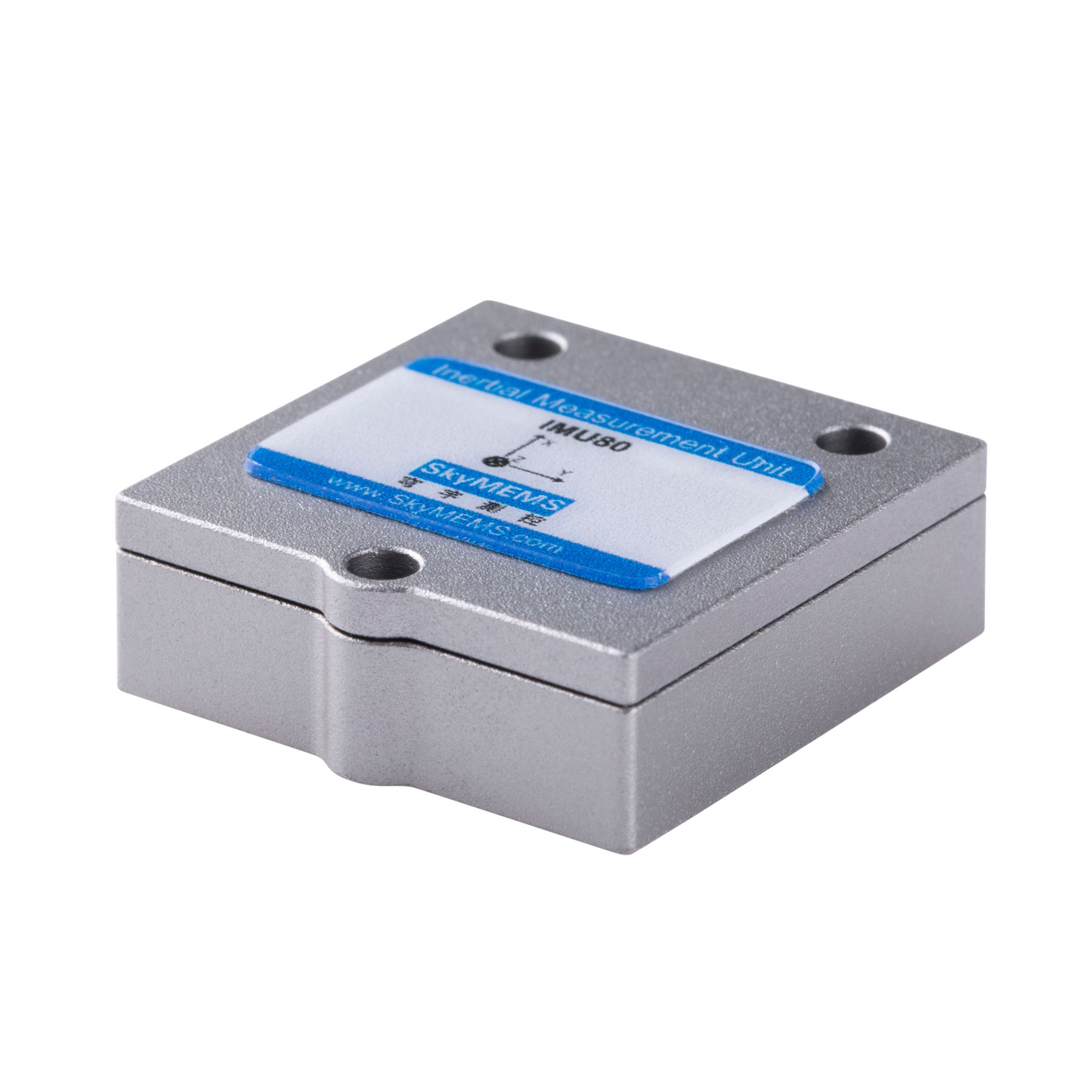
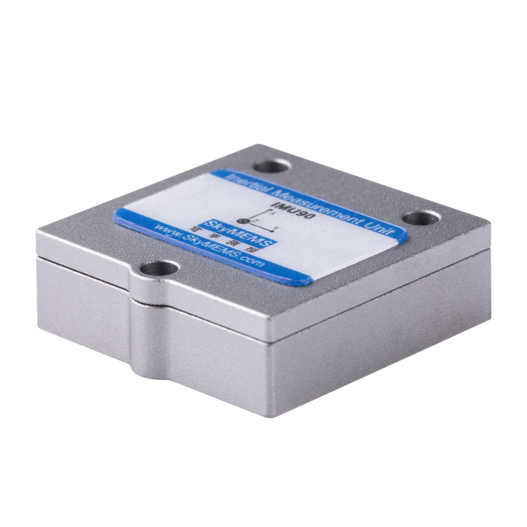
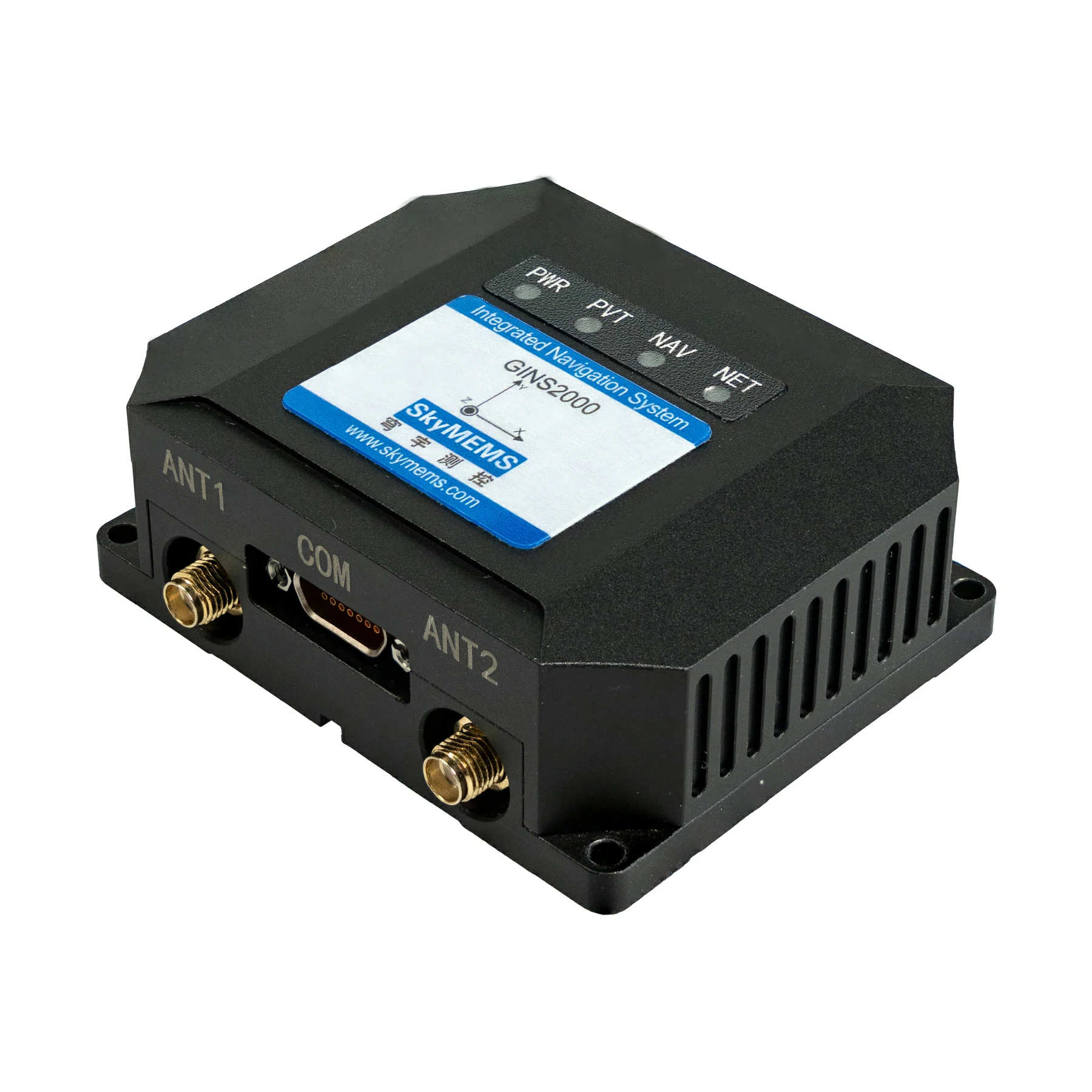
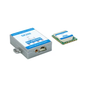
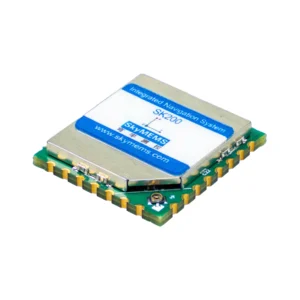
Manufacturers such as SkyMEMS are at the forefront of developing ruggedised GNSS/INS solutions, integrating MEMS-based sensors with advanced algorithms to meet the demands of industrial and mission-critical applications.
What Is a GNSS-Aided Inertial System?
A GNSS/INS (GNSS-aided inertial system) is a navigation system that fuses data from GNSS receivers (GPS, GLONASS, Galileo, and BeiDou) and inertial measurement units (IMUs). The goal is to produce accurate estimates of position, velocity, and attitude (orientation).
Position, velocity, and attitude (orientation).
Core principle
GNSS provides absolute positioning, while INS provides relative motion tracking. Integrating the two systems compensates for their respective weaknesses:
GNSS is accurate in the long term, but it can suffer from signal loss and noise. INS is stable in the short term, but it can accumulate drift over time. By combining both systems, the GNSS/INS achieves high accuracy, continuity, and robustness.
How GNSS-Aided Inertial Systems Work?
GNSS-aided inertial systems work by combining two complementary technologies — satellite positioning and motion sensing — to provide a single, continuous navigation solution. This integration is a core concept in inertial navigation systems, where the accuracy and reliability of the system depend on how well the different data sources are fused.
Core principle: sensor fusion
At the heart of the system is sensor fusion, most commonly implemented through a Kalman filter. This mathematical algorithm continuously merges data from INS (Inertial Navigation System) and GNSS (Global Navigation Satellite System) to produce a single, optimised estimate of position, velocity, and orientation.
Step-by-step working mechanism:
- INS Prediction (High-Frequency, Short-Term Accuracy): The INS uses onboard sensors:
Accelerometers measure linear acceleration, and gyroscopes measure angular velocity.
From these, the INS predicts motion in real time by calculating:
- Position
- Velocity
- Orientation
Strength:
- Works anywhere (even without signals)
- Very fast update rate
Limitations:
Errors accumulate over time (drift).
- GNSS Correction (Absolute Position Reference)
GNSS provides:
- Absolute position (latitude, longitude, and altitude)
- Velocity (in some systems)
Strength:
Long-term accuracy without drift
Limitations:
The signal can be blocked, degraded, or delayed (e.g., in urban or indoor areas).
- Kalman Filter Fusion (the intelligence layer)
The Kalman filter acts as the decision engine, taking INS predictions as the baseline, comparing them with GNSS measurements, estimating errors (bias, drift, and noise), applying corrections to improve overall accuracy, and continuously repeating this process.
Predict → Update → Correct → Repeat
This happens in real time, often hundreds of times per second.
Why this fusion works so well
The key idea is complementarity:
| System | Strength | Weakness |
| INS | Fast, continuous, no signal needed | Drift over time |
| GNSS | Absolute accuracy, no drift | Signal interruptions |
Combined result:
- GNSS corrects long-term INS drift.
- INS bridges short-term GNSS outages.
Performance in challenging conditions
This fusion enables reliable navigation in the following situations:
- Urban canyons: INS maintains tracking between satellite signals.
- Tunnels/indoors: INS provides temporary positioning without GNSS.
- High-dynamic environments: Smooth, high-rate updates for vehicles or drones
Advanced insight: Error modelling
The Kalman filter doesn’t just merge data; it also learns system behaviour, including:
- Sensor biases
- Noise characteristics
- Environmental disturbances
This allows it to predict and compensate for errors before they grow, significantly improving system robustness.
Final takeaway:
GNSS-aided inertial systems work because they combine:
Prediction (INS), correction (GNSS), and optimisation (Kalman filtering).
The result is a navigation solution that is accurate, continuous, and resilient, even when one data source becomes unreliable.
Key Components of a GNSS/INS System
| Component | Function | Technical Role |
| GNSS Receiver | Satellite positioning | Provides absolute coordinates |
| IMU (Gyroscope + Accelerometer) | Motion sensing | Tracks गति and rotation |
| Processor | Data fusion | Runs Kalman filtering |
| Antenna System | Signal reception | Improves GNSS accuracy |
| Power Module | Energy supply | Ensures system stability |
Modern systems from manufacturers like SkyMEMS integrate these components into compact, rugged modules suitable for harsh environments.
Types of GNSS-Aided Inertial Systems
| Type | Description | Application |
| Loosely Coupled | GNSS and INS are processed separately | Basic navigation |
| Tightly Coupled | Raw GNSS + INS fused | High accuracy |
| Deeply Coupled | Signal-level integration | GNSS-denied environments |
Tightly and deeply coupled systems are increasingly used in autonomous driving and defense due to their superior robustness.
Performance Advantages
GNSS-aided inertial systems offer a range of key performance benefits that make them essential for modern navigation. By combining satellite positioning with motion sensing, which is central to inertial navigation systems, they overcome the limitations of each technology. Here’s a more detailed and practical breakdown of the key benefits:
Continuous navigation
What it means:
Positioning does not stop when GNSS signals are lost.
How it works:
The INS uses accelerometers and gyroscopes to calculate position, velocity, and orientation.
During GNSS outages (e.g., in tunnels or dense urban areas), it maintains navigation until the signals return.
Real-world value:
Autonomous vehicles can navigate safely in tunnels.
UAVs can avoid instability when signals are briefly blocked.
Insight:
Continuity is critical for safety-critical systems, where even short interruptions can cause failure.
High accuracy
Performance level:
- Meter-level (standard GNSS)
- Sub-meter to centimetre-level with RTK/PPP and high-grade sensors
How accuracy is achieved:
- GNSS provides absolute positioning.
- INS smooths motion and corrects short-term fluctuations.
- Sensor fusion algorithms (e.g., Kalman filter) minimise overall error.
Insight:
Accuracy depends not just on GNSS, but also on sensor quality, correction services, and integration strategy.
High update rate
Typical performance:
- INS: 100–1000 Hz (or higher in advanced systems)
- GNSS: 1–10 Hz (standard); up to ~20 Hz in high-end receivers
Why it matters:
- Provides real-time responsiveness for fast-moving platforms.
- Enables smooth trajectory estimation and control.
Applications:
- Autonomous driving (rapid decision-making)
- Drones (stable flight control)
- Robotics (precise motion tracking)
Insight:
The INS acts as a high-speed backbone, while GNSS provides slower, but more accurate, corrections.
Robustness in harsh environments
Operating conditions:
- High vibration (e.g., industrial machinery, vehicles)
- Extreme temperatures (e.g., aerospace, offshore)
- Electromagnetic interference (e.g., urban or defence scenarios)
Design features:
- Ruggedised hardware and enclosures
- High-grade inertial sensors with low noise and drift
- Advanced filtering to reject noise and interference
Real-world benefit:
Reliable performance in environments where standalone GNSS would be unreliable or unusable.
Final takeaway:
GNSS/INS systems excel because they combine:
- Continuity: INS bridges GNSS gaps.
- Accuracy: GNSS corrections and sensor fusion.
- Speed: High-frequency updates.
- Robustness: Operation in extreme conditions.
This combination makes GNSS/INS systems essential for any application requiring precise, reliable, and real-time navigation in the real world.
Performance Comparison: GNSS vs INS vs GNSS/INS
| Feature | GNSS Only | INS Only | GNSS/INS |
| Accuracy | High (long-term) | High (short-term) | Very High |
| Drift | None | High | Low |
| Update Rate | Low | High | High |
| Signal Dependency | Yes | No | Partial |
| Reliability | Medium | Medium | High |
This comparison clearly demonstrates why integrated systems outperform standalone technologies.
Real-World Applications
GNSS-aided inertial systems are widely used in industries where reliable, continuous positioning is essential. By combining satellite navigation with inertial sensing, which is fundamental to Inertial Navigation Systems, these systems deliver accuracy and robustness even in challenging conditions. Here’s a closer look at some key application areas:
Autonomous vehicles
Role:
GNSS/INS enables lane-level positioning, which is essential for safe path planning and real-time decision-making.
Key functions:
- Precise vehicle localisation (often centimetre-level with RTK)
- Smooth positioning during GNSS outages (e.g., in tunnels or urban canyons)
- Integration with perception systems (LiDAR and cameras)
Insight: INS provides high-frequency updates, ensuring stable navigation between GNSS corrections — critical for safety-critical systems.
UAVs and drones
Role:
Providing stable flight control and accurate trajectory tracking.
Applications:
- Aerial mapping and photogrammetry
- Infrastructure inspection (e.g., power lines, bridges)
- Delivery and surveillance drones
Technical advantage:
- Maintains stability in dynamic conditions (e.g., wind and rapid manoeuvres).
- Enables precise waypoint navigation and hovering.
Insight:
Tightly coupled GNSS/INS systems are especially valuable for drones operating in environments with degraded signals.
Surveying and Mapping
Role:
Delivering high-precision geospatial data for use in construction, land surveying, and infrastructure development.
Capabilities:
- Centimetre-level positioning with RTK/PPP corrections
- Accurate trajectory reconstruction for mobile mapping systems
- Integration with LiDAR and imaging sensors
Use cases:
- Road and railway surveys
- Urban planning and GIS data collection
- Construction site monitoring
Insight:
GNSS/INS ensures data continuity, even when satellite signals are temporarily obstructed.
Defence and aerospace
Role:
Supports navigation in GNSS-denied or contested environments and under extreme dynamics.
Applications:
- Military vehicles and guided systems
- Aircraft and spacecraft navigation
- Missile guidance and targeting
Key advantages:
- High reliability and resistance to jamming or spoofing
- Accurate motion tracking under high speed, acceleration, and vibration
Insight: High-grade (tactical or navigation-grade) inertial sensors enable long-duration autonomy without GNSS input.
Final takeaway:
Across all these sectors, GNSS-aided inertial systems provide three core benefits:
- Accuracy: high-precision positioning (down to centimetres).
- Continuity: Reliable operation during signal loss
- Robustness: Performance in dynamic and harsh environments
This combination makes them indispensable wherever precision navigation and operational safety are non-negotiable.
Ruggedization: What Makes a System “Rugged”?
| Feature | Requirement | Benefit |
| IP Rating | IP67 or higher | Dust & water resistance |
| Shock Resistance | High G tolerance | Reliable in vibration |
| Temperature Range | -40°C to +85°C | Extreme environment use |
| EMI Shielding | Advanced design | Stable signal processing |
Rugged systems are essential for industrial, ռազմական, and outdoor deployments.
Industry Trends in 2026
The GNSS/INS market is evolving rapidly, driven by several key trends:
- AI-enhanced sensor fusion for greater accuracy;
- Multi-sensor integration (LiDAR, vision, and radar);
- Miniaturisation of high-performance inertial measurement units (IMUs);
- Low-cost micro-electro-mechanical systems (MEMS) solutions offering near-tactical performance.
Manufacturers such as SkyMEMS are at the forefront of these innovations, delivering compact, high-performance GNSS-aided inertial systems for emerging applications.
Best Practices for Choosing a GNSS-Aided Inertial System
Selecting the appropriate GNSS-aided inertial system involves more than simply choosing the “best” technology; it requires aligning the system architecture with your operating conditions and performance objectives. Even small mismatches between requirements and configuration can lead to significant performance gaps in inertial navigation systems. Here’s a more in-depth, decision-oriented guide:
Required accuracy level
First, define your positioning needs:
- Meter-level (1–5 m): Fleet tracking, basic navigation
- Sub-meter: Precision agriculture, surveying preparation
- Centimetre-level (RTK/PPP): Autonomous driving, robotics, and offshore positioning.
Insight:
Higher accuracy often requires GNSS augmentation techniques (e.g., RTK corrections) and closer integration with inertial sensors. This increases system complexity and cost.
Operating environment
The environment directly impacts signal reliability.
- Urban (urban canyons): Multipath interference and signal blockage
- Indoor/underground: GNSS-denied → inertial system dominates
- Offshore/open sky: Strong GNSS signals, but high stability is required.
Best practice:
In challenging environments, prioritise systems with strong inertial bridging capability to allow continuous positioning when GNSS signals drop.
Sensor grade selection
IMU (inertial measurement unit) quality is critical.
- Consumer-grade: Low cost, higher drift (e.g., smartphones, wearables).
- Industrial-grade: Balanced cost and performance (e.g., UAVs, robotics).
- Tactical-grade: Low drift and high reliability (used in defence, marine, and autonomous systems).
Insight:
Higher-grade sensors reduce error accumulation during GNSS outages, which is essential for maintaining navigation continuity.
Integration architecture
GNSS and inertial data can be combined in various ways.
Loosely coupled:
GNSS and IMU are processed separately and then fused. This option is simpler and lower cost, but less robust in weak-signal environments.
Tightly Coupled:
Raw GNSS measurements are fused directly with IMU data. This option offers better performance in partial signal conditions, but is more complex and computationally demanding.
Advanced option:
Ultra-tight (deep) coupling can further enhance performance in GNSS-denied or jammed environments.
Power consumption and form factor
Critical for mobile and embedded applications:
UAVs and handheld devices require low-power, lightweight systems, whereas vehicles and marine platforms can accommodate larger, higher-power units.
Trade-off: higher performance (especially for tactical-grade systems) often comes with increased power consumption and size.
System latency and update rate (often overlooked)
Why it matters:
High-speed applications (e.g., autonomous vehicles and drones) require low latency and high update rates.
Slow update systems can cause lag in positioning and control.
Software and algorithm capability
Beyond hardware, performance depends heavily on:
- Sensor fusion algorithms (e.g., Kalman filtering);
- Error modelling and compensation;
- Real-time correction handling (RTK/PPP).
Insight:
A strong algorithm can significantly improve performance even with mid-tier hardware.
Application-specific optimisation
Different industries prioritise different factors:
- Autonomous vehicles: cm-level accuracy, low latency, and high reliability
- Marine/offshore: long-term stability and resistance to drift
- Surveying: highest accuracy and post-processing capability
- Consumer electronics: low cost and compact size
Final takeaway:
A well-matched GNSS-aided inertial system balances:
- Accuracy requirements
- Environmental challenges
- Sensor quality
- Integration strategy
- Power and size constraints
There is no one-size-fits-all solution. Optimal performance and cost efficiency come from aligning system design with real-world operating conditions.
FAQ: GNSS Aided Inertial System
- What is a GNSS-aided inertial system?
It is a navigation system that combines GNSS and inertial sensors to provide accurate position, velocity, and orientation.
- Why combine GNSS and INS?
GNSS offers long-term accuracy while INS provides short-term stability, and together they improve overall performance.
- How accurate are GNSS/INS systems?
They can achieve centimeter-level accuracy in optimal conditions.
- What happens when GNSS signals are lost?
The INS continues to provide navigation data, though accuracy gradually decreases over time.
- What industries use GNSS/INS systems?
Autonomous driving, UAVs, surveying, robotics, and defense industries.
- What is the difference between loosely and tightly coupled systems?
Loosely coupled systems process GNSS and INS separately, while tightly coupled systems fuse raw data for better accuracy.
Conclusion
The GNSS-aided inertial system is a cornerstone technology for modern navigation in 2026. By combining GNSS and inertial sensing intelligently, it delivers unmatched accuracy, reliability, and continuity across a wide range of applications.
As industries move towards automation and autonomy, the demand for robust, high-performance GNSS/INS solutions will only increase. Thanks to innovations from companies like SkyMEMS, the future of navigation is set to become more precise, resilient, and intelligent than ever before.