

Navigation is one of the most fundamental technologies in modern society. From airplanes and ships to autonomous vehicles and mobile phones, accurate positioning has become a necessity in nearly every field. At the heart of global positioning lies GNSS (Global Navigation Satellite System), a collective term that includes systems such as GPS (United States), GLONASS (Russia), Galileo (European Union), and BeiDou (China).
While GNSS has revolutionized positioning by offering global coverage and accuracy at the meter level, it is not flawless. Urban canyons, tunnels, signal interference, or jamming can degrade or even block satellite signals. To address these challenges, engineers developed the GNSS Integrated Navigation System—a fusion of GNSS with other navigation technologies like INS (Inertial Navigation System), IMU (Inertial Measurement Unit), and other aiding sensors.
What is a GNSS Integrated Navigation System?
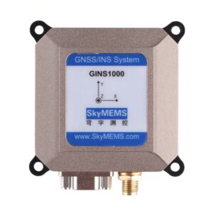
A GNSS Integrated Navigation System is a solution that combines GNSS with complementary sensors to enhance accuracy, reliability, and continuity of navigation data. The most common integration is GNSS + INS, where GNSS provides absolute position and velocity information, while INS offers relative motion data based on accelerometers and gyroscopes.
The fusion typically occurs through algorithms such as the Kalman Filter, which blends the strengths of both systems while compensating for their weaknesses. For example:
-
GNSS is accurate but vulnerable to signal blockage.
-
INS is self-contained and immune to signal interference, but it suffers from drift over time.
-
When integrated, GNSS corrects the drift of INS, while INS provides navigation continuity during GNSS outages.
This synergy makes integrated systems highly reliable, which is why they have become essential in safety-critical applications like aviation, defense, and autonomous driving.
Why Integrated Navigation Instead of Pure GNSS?
Although GNSS alone provides excellent coverage, it faces several limitations:
-
Signal Blockage – High-rise buildings, tunnels, or dense forests can block satellite signals.
-
Multipath Errors – Reflected signals from surfaces such as buildings or water degrade positioning accuracy.
-
Atmospheric Disturbances – Ionospheric and tropospheric delays reduce precision.
-
Vulnerability to Jamming/Spoofing – GNSS signals are relatively weak, making them susceptible to interference.
By integrating GNSS with INS or other sensors, these problems are mitigated. INS ensures continuous navigation even without satellite signals, while GNSS regularly calibrates INS to prevent drift. This complementary nature makes integrated navigation the gold standard in many industries.
The Most Used GNSS Integrated Navigation Systems
1. GPS + INS (Classic Combination)
The combination of GPS with an Inertial Navigation System is the most traditional and widely used integrated solution. It is prevalent in aviation, maritime, and military applications. GPS provides absolute positioning, while INS ensures continuity during signal loss, such as during aircraft maneuvers or undersea navigation.
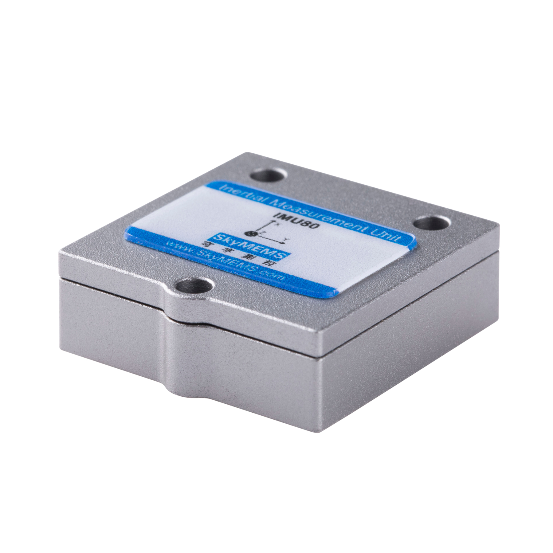
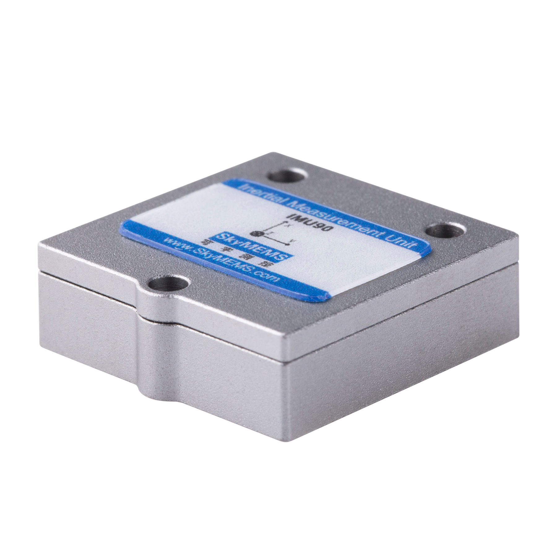
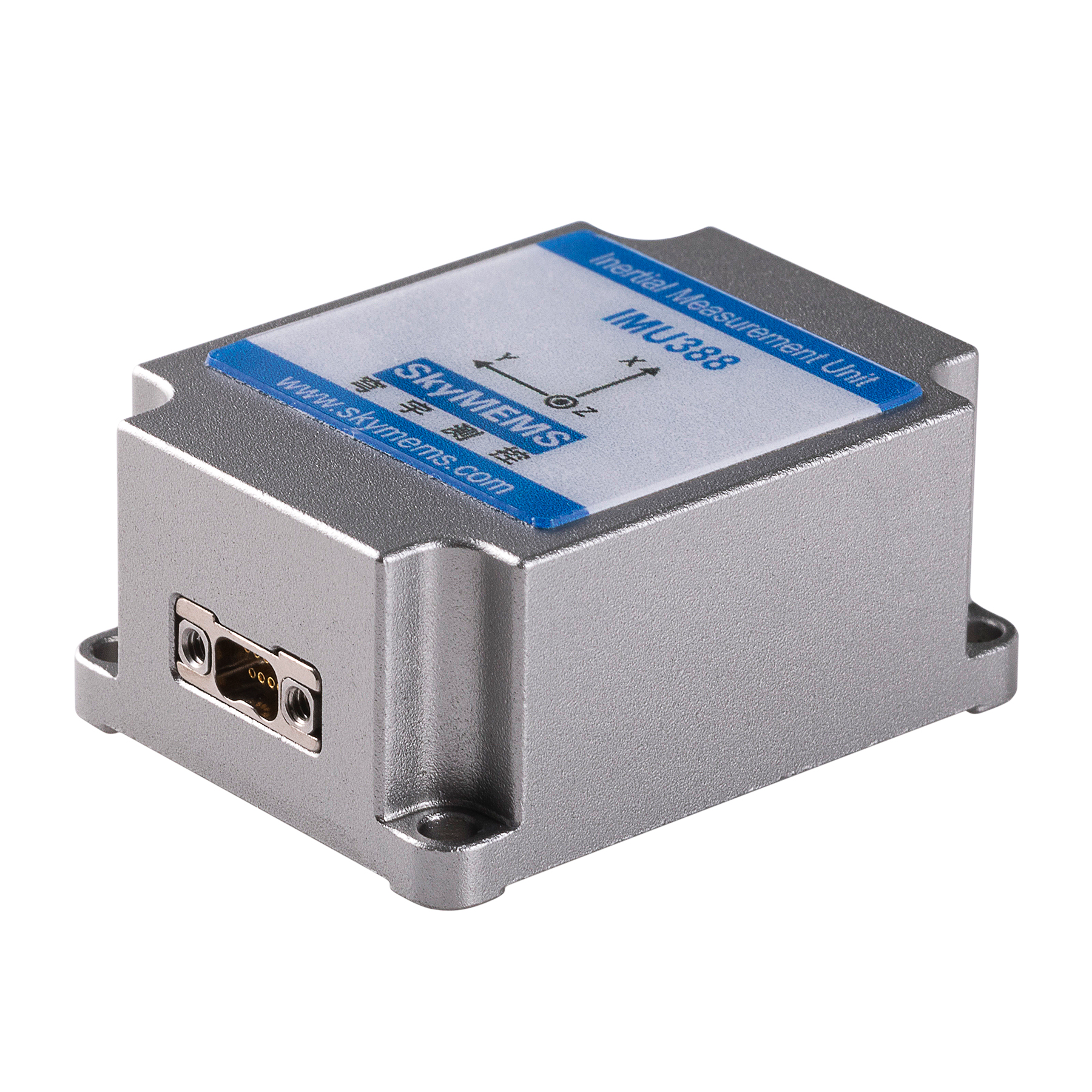
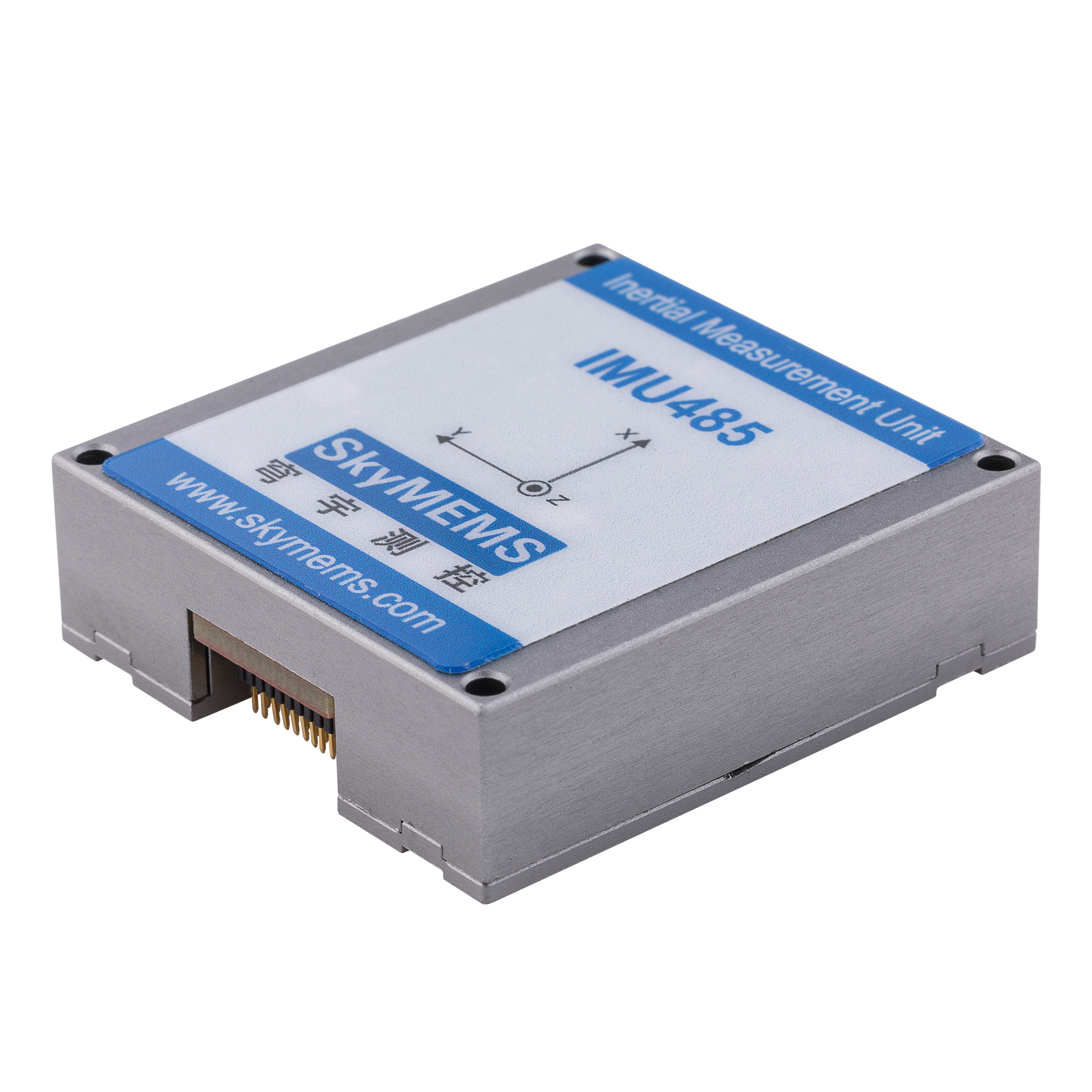
2. GNSS + MEMS-IMU
For cost-sensitive applications such as drones, smartphones, and ground vehicles, GNSS combined with low-cost MEMS-based IMUs is the most common solution. Although MEMS sensors are less accurate than high-grade INS, they are compact, affordable, and sufficient for many consumer and industrial uses.
3. Multi-GNSS (GPS + GLONASS + Galileo + BeiDou) + INS
Today, the most advanced and widely adopted system is Multi-GNSS Integrated with INS. By accessing signals from multiple constellations simultaneously, this system provides better accuracy, faster initialization, and improved resilience against signal blockage. For example:
-
Aviation industries rely heavily on Multi-GNSS + INS for global flight navigation.
-
Autonomous vehicles use this system to achieve centimeter-level accuracy for lane detection.
-
Surveying and geodesy applications benefit from the redundancy and reliability provided by multiple constellations.
Therefore, the most used GNSS Integrated Navigation System today is Multi-GNSS (GPS + GLONASS + Galileo + BeiDou) combined with an INS or IMU. It offers global coverage, high reliability, and robustness in challenging environments.
Applications of GNSS Integrated Navigation Systems
The widespread use of integrated systems spans multiple domains:
-
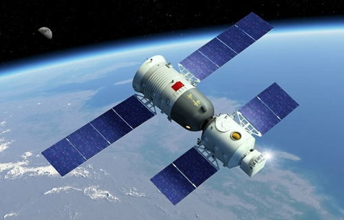
Aerospace and Aviation – Aircraft use GNSS + INS for precise navigation during all flight phases, including takeoff, en route, and landing. Satellites and spacecraft also rely on these systems for orbit determination.
-
Maritime – Ships and offshore platforms utilize integrated navigation to maintain safe routes even when GNSS signals are obstructed by weather or terrain.
-
Autonomous Vehicles – Self-driving cars require lane-level accuracy. GNSS + INS ensures reliable navigation in urban areas, tunnels, or under bridges.
-
Military and Defense – Missiles, submarines, and combat aircraft use GNSS/INS integration to achieve accurate navigation while resisting jamming.
-
Surveying and Geodesy – High-precision mapping and construction projects depend on GNSS + INS for centimeter-level accuracy.
-
Drones and Robotics – Compact GNSS + MEMS IMU systems guide drones and robots in GPS-challenged environments.
Advantages of Using GNSS Integrated Navigation Systems
-
Accuracy – Multi-sensor integration reduces positioning errors.
-
Continuity – Navigation continues even when satellite signals are blocked.
-
Reliability – Fusion systems are resistant to multipath and interference.
-
Flexibility – Different grades of INS or IMUs can be chosen based on the application.
-
Scalability – From consumer drones to military aircraft, integrated navigation fits multiple sectors.

Future Trends
As technology advances, GNSS Integrated Navigation Systems are evolving in several directions:
-
Artificial Intelligence (AI) Integration – Machine learning algorithms are being used to improve sensor fusion and fault detection.
-
Quantum Navigation – Emerging quantum sensors may reduce reliance on GNSS by providing drift-free inertial navigation.
-
Integration with 5G/6G – Cellular signals may be fused with GNSS and INS to provide seamless navigation in urban environments.
-
Miniaturization – Low-cost, chip-scale INS units will expand integrated navigation into consumer electronics.
-
Enhanced Security – Anti-jamming and anti-spoofing features are becoming critical for defense and commercial use.
To answer the central question—What is the most used GNSS Integrated Navigation System?
The answer lies in the combination of Multi-GNSS (GPS, GLONASS, Galileo, BeiDou) with INS (Inertial Navigation System). This integrated solution provides global coverage, high precision, and robust performance in environments where GNSS alone would fail.
From airplanes and ships to autonomous vehicles and drones, this system has become the backbone of modern navigation. Looking ahead, integration with AI, quantum sensors, and 5G will further strengthen its role, ensuring that GNSS Integrated Navigation Systems continue to lead the way in positioning technology.