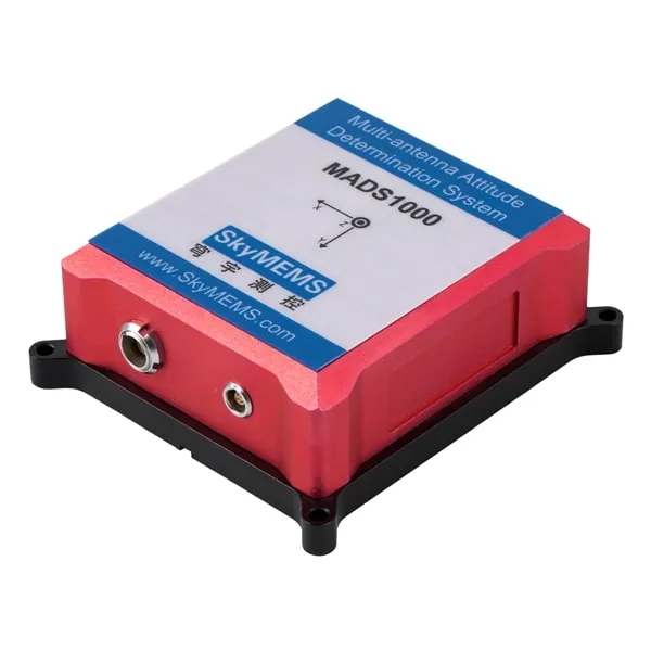
highly precise attitude determination system, based on 4 groups of GNSS receivers, widely used in the surface craft.

high-performance airborne GPS aided inertial system, widely used in unmanned aircraft, vehicle navigation, surface craft, ship, and so on.
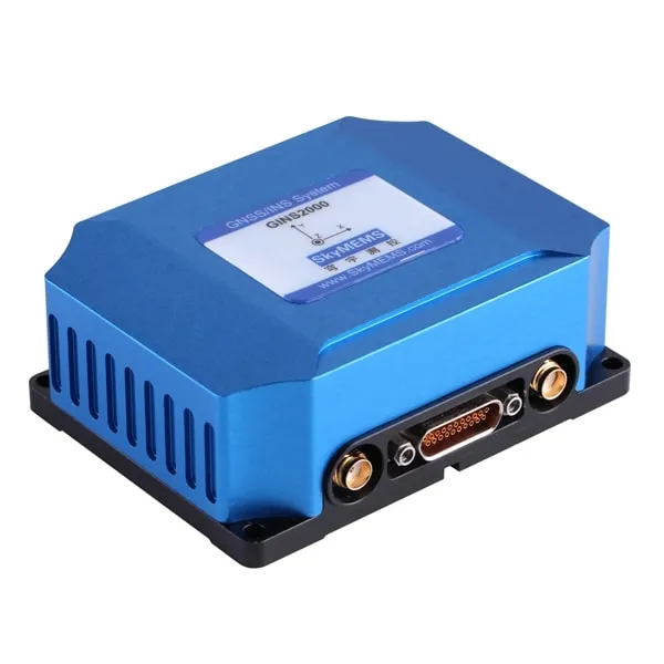
High Performance rugged GNSS aided inertial system, widely used in tactical weapon, unmanned aerial vehicle (UAV), ship, etc.
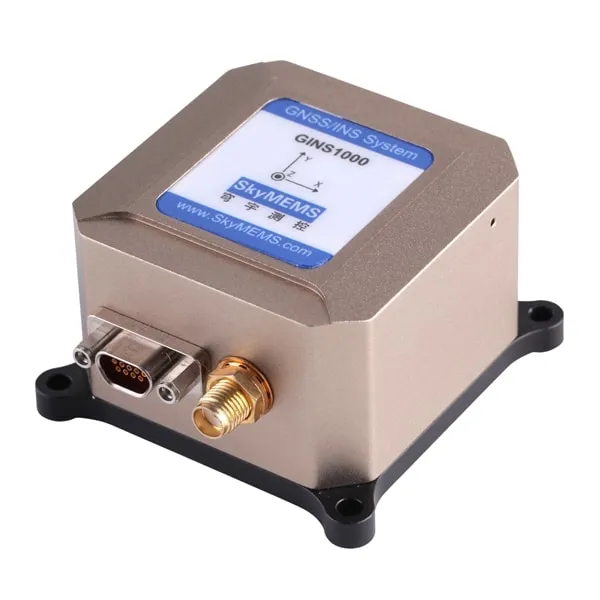
High precision integrated navigation system, widely used in unmanned aerial vehicle (UAV), vehicle navigation, the surface craft, ship and so on.
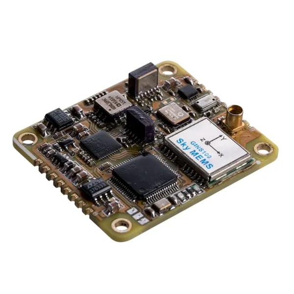
GINS100 Embedded GPS Inertial Navigation System
– Low-Cost MEMS GNSS/INS System with GPS/BeiDou
Dual-mode Satellite Navigation System
– High Accuracy: Yaw: 0.5° (RMS), Attitude: 0.5° (RMS)
Velocity <0.15m/s, Position < 5m (RMS)
– Up to 400Hz Output Rate
– High Reliability, Strong Vibration Proof
– Small Size: 43 × 37× 15mm, 20grams (without casing)
– Wide Operating Temperature: -40°C~+70°C
Low-cost GNSS/INS integrated navigation system, widely used in unmanned aircraft, vehicle navigation, surface vessel, ship and so on.

– Built-in Mini AHRS soft/hardware
– Yaw, Roll, Pitch, Acceleration and Angular Rate Outputs
– High Accuracy: Yaw: 0.2° , Attitude: 0.1° (base line≥1m)
– RS232/RS422 Interface, 100Hz /200Hz Output Rate
– High Reliability, Strong Vibration and Shock Proof
– Advanced SkyMEMS Data Fusion Algorithm
– Wide Operating Temperature: -40°C~+85°C
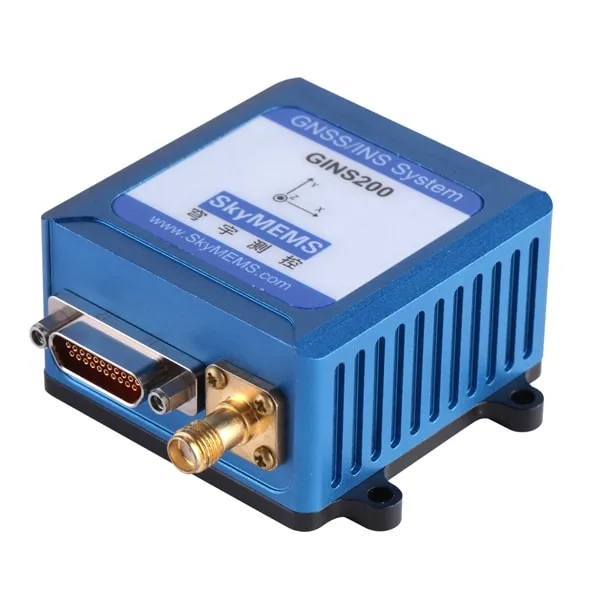
– High Performance MEMS Inertial System with GPS/GLONASS Satellite Navigation System
– High Accuracy: Yaw: 0.5° (1σ), Attitude: 0.23° (1σ), Velocity <0.05~0.1m/s,
Position < 5m (L1/L2 single point), <8cm (RTK), Heave: <15cm (1σ)
– RS422 Interface, 100Hz Data Output Rate
– High Reliability, Strong Vibration Proof
– Advanced SkyMEMS Data Fusion Algorithm

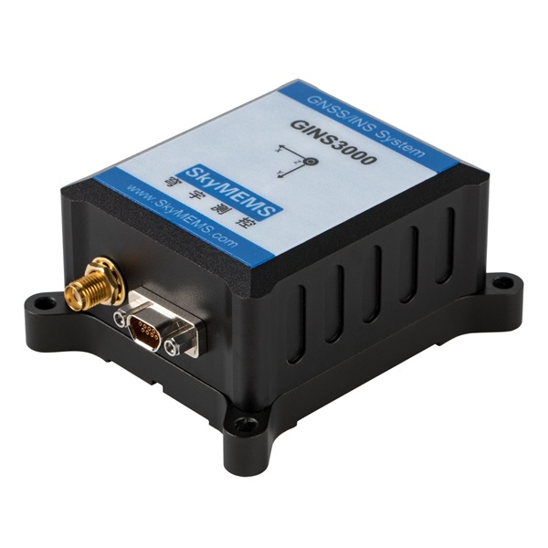
– High Precision MEMS Inertial System with GPS/BD Dual-mode Satellite Navigation System
– 3 System, 6 Frequency GNSS
– High Tracking Sensitivity for Complicated Environment
– High Accuracy: Heading up to 0.1°, Attitude: 0.1° (rms),
Velocity <0.03m/s, Position < 0.01m (RMS, RTK),
– High Reliability, Strong Vibration and Shock Resistance
– Adjustable Bandwidth and Protocol ODM Supported
– Wide Operating Temperature: -40°C~+80°C
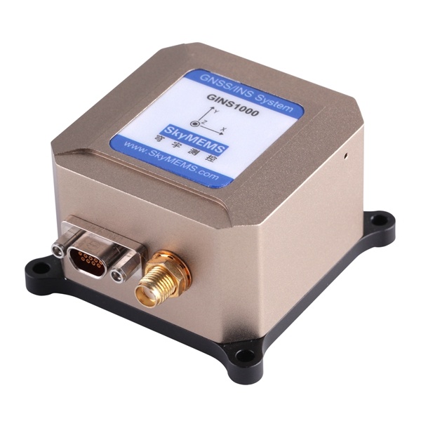
– High Precision MEMS Inertial System with GPS/BD Dual-mode Satellite Navigation System
– High Accuracy: Heading: 0.15°, Attitude: 0.05° (rms), Velocity <0.15m/s, Position < 1.5m
– Support Dynamic Fast Alignment
– High Reliability, Strong Vibration and Shock Resistance
– Multiple Interfaces: RS232/RS422/TTL/CAN
– Eazy to Integrate with Odometer/DVL Sensor
– Wide Operating Temperature: -40°C~+70°C