

In modern life, navigation has become an indispensable tool for our travel. Whether driving through the streets and alleys of the city or taking public transportation to unfamiliar places, GPS navigation provides great convenience. But have you ever encountered such a situation: when driving into a tunnel, the signal of the mobile phone or car navigation suddenly weakens or even disappears completely, and the originally accurate navigation instructions become chaotic in an instant, making people lost in the dark; or in an underground parking lot, the location displayed by the navigation software deviates greatly from the actual location, and in the intricate parking area, you can’t find your car.
These situations of navigation signal loss or deviation not only bring trouble to our travel, but sometimes even may cause danger. For example, if the navigation signal is suddenly lost during high-speed driving, the driver may miss the exit and be forced to take a detour. Ine complex road conditions, wrong navigation instructions may put the vehicle in trouble. The root of these problems is that traditional GPS navigation relies heavily on satellite signals. Once the signal is blocked or interfered with, the accuracy and reliability of navigation will be greatly reduced.
So, is there a technology that can solve these problems so that we can enjoy accurate navigation services in any environment? Embedded GPS Inertial Navigation System may be the answer.

What is Embedded GPS Inertial Navigation System
(I) Basic Concepts
Embedded GPS Inertial Navigation System, or embedded GPS inertial navigation system, is an advanced navigation system that deeply integrates the global positioning system (GPS) with inertial navigation technology. It is like an intelligent “navigation brain” and is widely used in various devices that require precise navigation, such as cars, ships, airplanes, and even some handheld devices.
The biggest feature of this system is its autonomy and anti-interference ability. Unlike traditional GPS navigation, even if the satellite signal is blocked, interfered or even completely lost, it can still rely on the inertial navigation part to continuously provide the carrier with accurate position, speed and attitude information to ensure the continuity and reliability of navigation. Just like an experienced navigator, even if he loses the guidance of the lighthouse in the vast ocean, he can accurately sail to his destination with his own navigation experience and instruments.
(II) Working Principle
The working principle of the Embedded GPS Inertial Navigation System is based on two key technologies: inertial measurement and satellite positioning. The inertial measurement part mainly relies on two core sensors: accelerometer and gyroscope. The accelerometer is like a sensitive “speed change detector”, which can accurately measure the linear acceleration of the carrier in the three coordinate axes, that is, the speed of speed change. The gyroscope is like an accurate “direction change sensor”, which is used to measure the angular velocity of the carrier around the three coordinate axes, that is, the speed of rotation.
The system will perform a series of complex and precise integration operations based on the acceleration and angular velocity information obtained by these sensors. First, the speed of the carrier is calculated based on the integration of the acceleration over time; then, the speed is integrated to obtain the displacement of the carrier, thereby inferring the real-time position of the carrier. At the same time, the angular velocity information measured by the gyroscope can be used to determine the attitude of the carrier, including the roll angle, pitch angle and heading angle, after integration and coordinate transformation.
But this process is not perfect. Due to the characteristics of integral operation, errors will gradually accumulate over time, just like a snowball, which will get bigger and bigger. This is like when we are running, there may be a small error in the measurement of each step. As the number of steps increases, these errors accumulate, which will lead to deviations in our judgment of the running distance and direction. To solve this problem, the system needs to continuously perform error compensation and calibration. At this time, the advantages of GPS are highlighted.
The GPS part receives signals transmitted by multiple satellites and uses the principle of triangulation to accurately determine the geographic location of the carrier. GPS positioning is highly accurate and global, and can provide the system with an accurate position reference. By comparing and integrating the position information provided by GPS with the results calculated by inertial navigation, the system can correct the accumulated errors generated by inertial navigation in real time, thereby achieving higher-precision navigation. This fusion method is like two excellent navigators working together, each playing to their strengths to ensure accurate navigation.

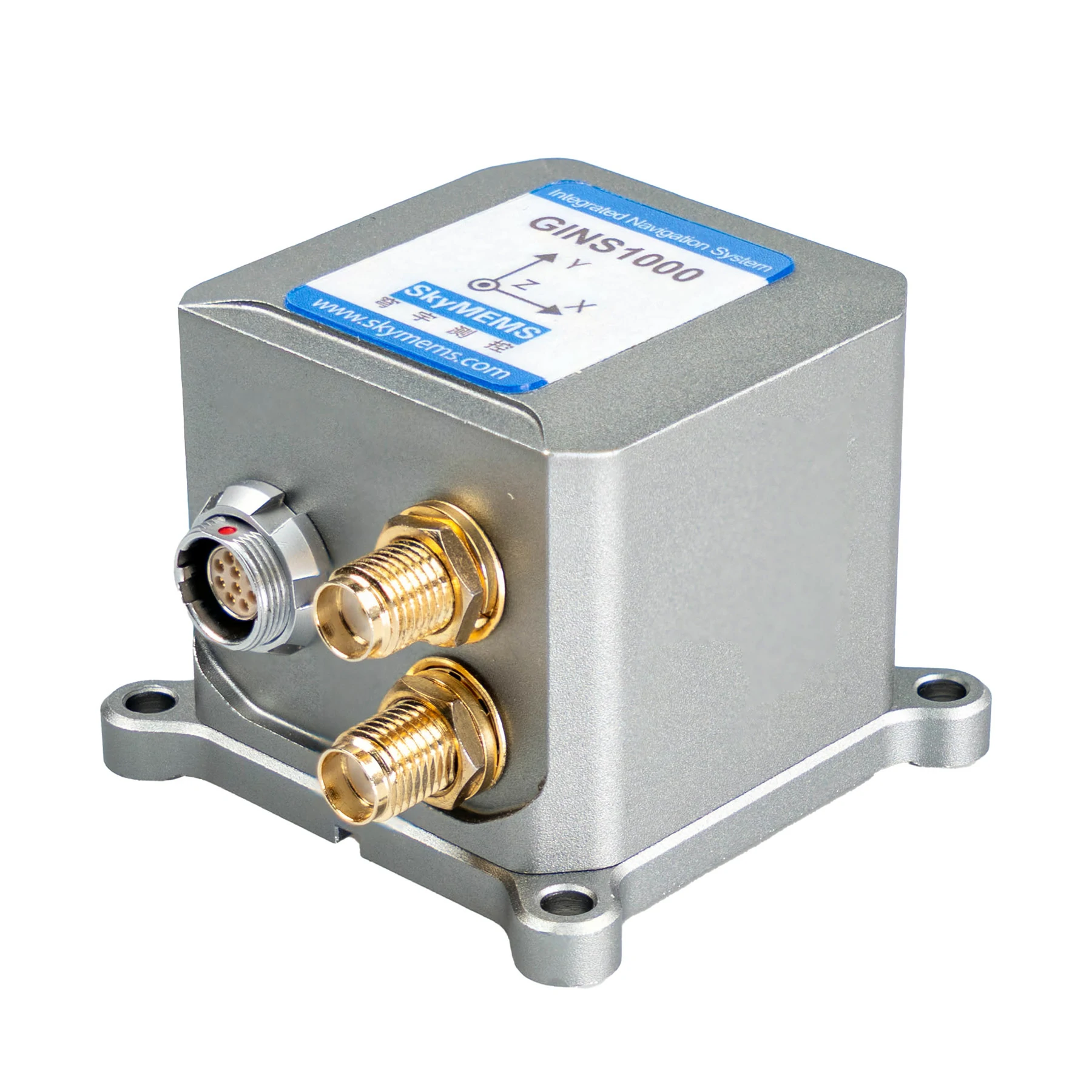
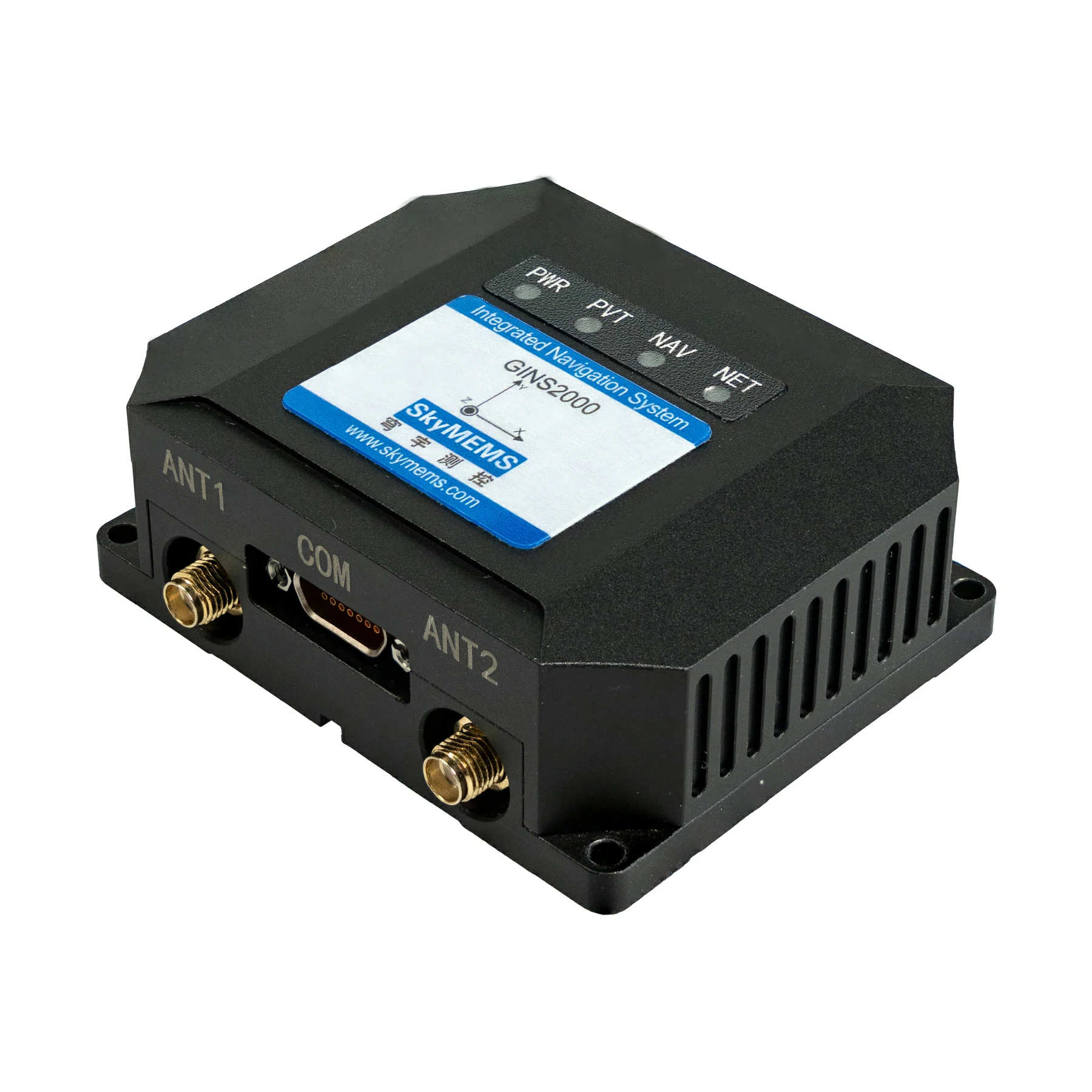
The core components of the Embedded GPS Inertial Navigation System
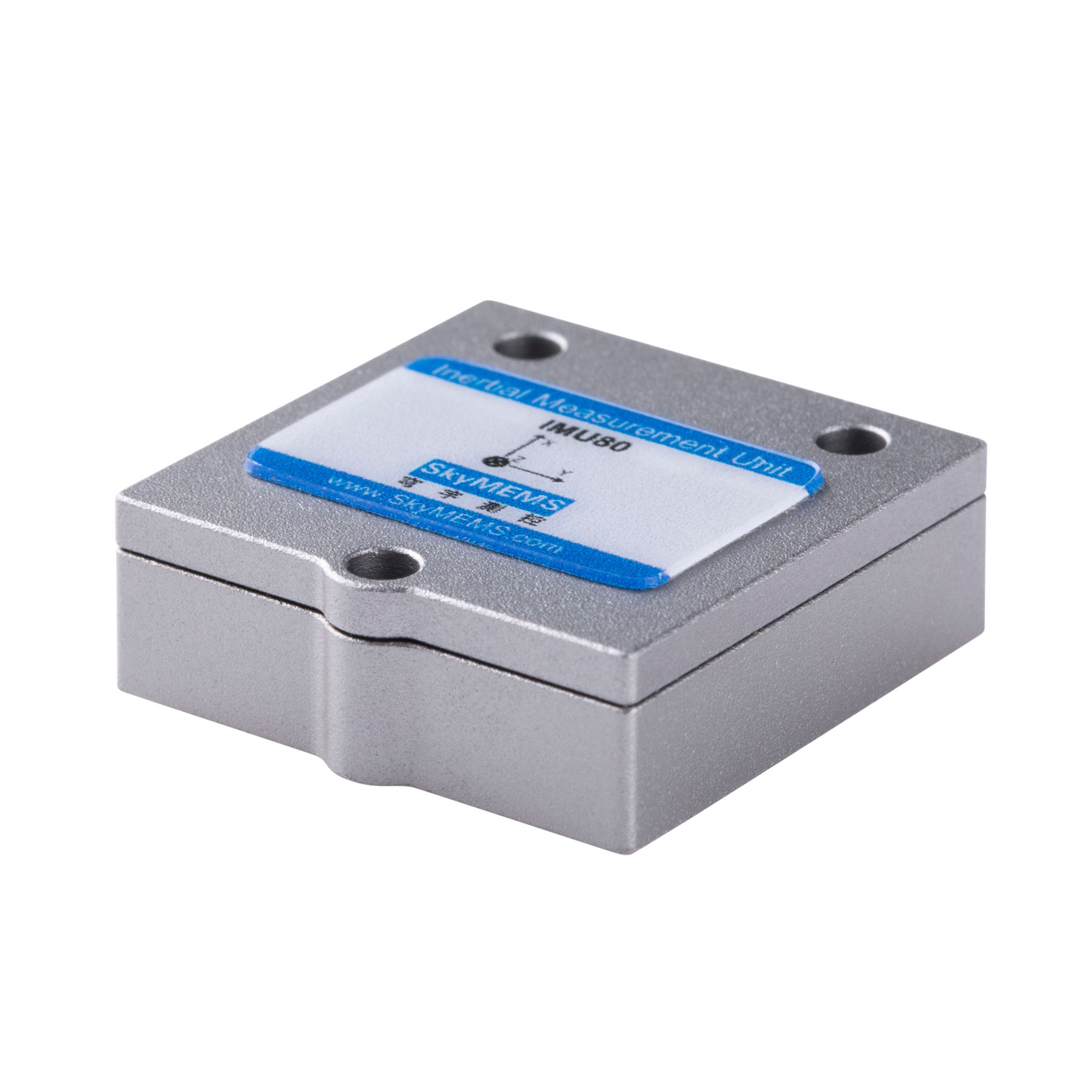
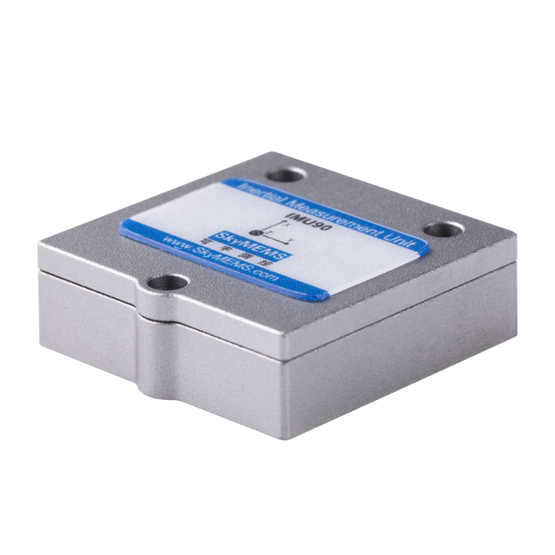
(I) Inertial Measurement Unit (IMU)
The Inertial Measurement Unit (IMU) is the “heart” of the Embedded GPS Inertial Navigation System. It consists of two key components, the accelerometer and the gyroscope, which work together like two closely cooperating partners to provide key motion data for the system. The accelerometer is like a keen “speed change scout”, focusing on measuring the linear acceleration of the carrier in the three coordinate axes and accurately capturing every change in the carrier’s speed. The gyroscope is like a precise “direction change perception master”, responsible for measuring the angular velocity of the carrier around the three coordinate axes and keenly sensing every rotation of the carrier.
The accuracy of the IMU plays a decisive role in the performance of the entire system. Imagine that if the IMU’s measurement is biased, just like a compass pointing in the wrong direction, then the carrier’s position, speed and attitude calculated based on these data will inevitably be biased, resulting in a significant reduction in the accuracy of the navigation system. To achieve high-precision measurements, the design and manufacture of IMUs involve multiple disciplines, including precision machinery, electronic engineering, and materials science. During the design process, engineers need to carefully design and optimize every detail like carving a piece of precision art to ensure that the accelerometer and gyroscope can accurately sense motion signals.
But even with the most sophisticated design, IMUs will inevitably produce errors. These errors are like “little demons” hiding in the dark, which will gradually accumulate over time and have a serious impact on navigation accuracy. To combat these errors, engineers need to adopt complex error modeling and compensation techniques. They will build detailed error models, analyze the causes and laws of errors, and then correct and compensate the measurement data through algorithms, just like putting on a pair of “corrective glasses” for the navigation system to enable it to work more accurately.
In addition, in practical applications, the size, weight, and power consumption of IMUs are also important factors to consider. For example, in some application scenarios with strict space and weight requirements, such as drones and smartphones, miniaturized, low-power IMUs are required to meet the design requirements of the equipment. With the continuous advancement of MEMS (micro-electromechanical system) technology, today’s IMU has become increasingly miniaturized and low-power, providing stronger support for the widespread application of Embedded GPS Inertial Navigation System.
(II) Data processing unit
The data processing unit is the “smart brain” of the Embedded GPS Inertial Navigation System. It usually uses a high-performance microprocessor or digital signal processor (DSP). The main task of this “brain” is to quickly and accurately process the massive data collected by the IMU. It is like an efficient “data analyst” that uses complex algorithms to integrate the acceleration and angular velocity data transmitted by the accelerometer and gyroscope to calculate the position, speed and attitude of the carrier.
The performance of the data processing unit is directly related to the real-time performance and accuracy of the system. On high-speed moving carriers, such as airplanes and cars, a large amount of sensor data needs to be processed in a very short time to ensure the timely update of navigation information. High-performance microprocessors or DSPs can execute various complex algorithms at extremely high computing speeds and quickly process data, enabling the system to track the motion state of the carrier in real time. If the performance of the data processing unit is insufficient, it will cause data processing delays and untimely updates of navigation information, thus affecting the navigation accuracy and reliability of the system.
To achieve efficient data processing, the data processing unit also needs to have good algorithm design and optimization capabilities. Engineers will design special algorithms according to the characteristics of the system and application requirements to filter, reduce noise, and fuse the data. These algorithms are like carefully written “program instructions” that can help the data processing unit better understand and process sensor data and improve the performance of the navigation system. For example, the Kalman filter algorithm is a commonly used filtering algorithm that can effectively filter sensor data, remove noise interference, and improve data accuracy.
(III) Power supply
The power supply is the “energy source” of the Embedded GPS Inertial Navigation System and provides stable power support for the normal operation of the entire system. Just like the human body needs a constant supply of energy to maintain life activities, the navigation system also cannot do without a stable power supply. Whether it is the IMU collecting data or the data processing unit performing complex calculations, the power supply is required to provide power.
The stability and reliability of the power supply are crucial to the normal operation of the system. If the power supply fluctuates or fails, it will cause the system to fail to operate normally, just like a light suddenly losing power, and may even damage the system’s hardware devices. In some application scenarios with extremely high reliability requirements, such as aerospace and military fields, the stability of the power supply is even more related to the success or failure of the mission and the safety of personnel. Therefore, to ensure the stability and reliability of the power supply, a variety of measures are usually adopted, such as using high-quality power chips, equipping voltage stabilization circuits and backup power supplies.
In different application scenarios, the requirements for power supply are also different. For example, in portable devices, such as smartphones and handheld navigators, the power supply needs to be small in size, light in weight, and low in power consumption to extend the battery life of the device. In some large equipment, such as aircraft and ships, the power supply needs to provide high-power power output to meet the high energy consumption requirements of the equipment. Therefore, when designing the Embedded GPS Inertial Navigation System, it is necessary to select a suitable power supply solution according to the specific application scenario and requirements to provide reliable energy support for the system.

Application fields of Embedded GPS Inertial Navigation System
(I) Transportation
In the field of automobile autonomous driving, the Embedded GPS Inertial Navigation System plays an indispensable role. Imagine that when a vehicle is driving on a city street with tall buildings, the GPS signal is easily blocked by buildings and weakened or interrupted. At this time, the embedded GPS inertial navigation system is like a reliable backup navigator. Its inertial navigation part can continuously calculate the vehicle’s position and driving direction based on the vehicle’s motion state, such as acceleration and steering angle. Even if the satellite signal disappears temporarily, the vehicle can rely on inertial navigation to maintain a stable driving route, avoid driving deviations caused by the loss of navigation signals, and ensure the safety and stability of autonomous driving.
In the field of aviation and navigation, the system is even more critical to ensuring flight and navigation safety. When an aircraft passes through complex meteorological conditions or terrain areas such as clouds and mountains, satellite signals are easily interfered with. Ships may also face poor satellite signals during ocean voyages, such as encountering bad weather, magnetic storms, etc. Embedded GPS Inertial Navigation System can provide stable navigation information for aircraft and ships in these situations. It accurately senses the motion state of the carrier through the inertial measurement unit, and combines the positioning information of GPS to provide accurate position, speed and attitude data for pilots and crew members, helping them make correct decisions and ensure safe and smooth navigation.
(II) Military and National Defense
In the military field, the importance of Embedded GPS Inertial Navigation System is self-evident. In missile guidance, it can provide missiles with high-precision navigation information to ensure that the missiles accurately hit the target. Since the inertial navigation system does not rely on external signals and has strong concealment and anti-interference capabilities, even in the case of electronic interference by the enemy, the missile can still rely on inertial navigation to maintain the correct flight trajectory and achieve precise strikes.
In terms of ship navigation, the system also plays a key role. When performing missions, ships may face various complex electromagnetic environments and harsh sea conditions, and satellite navigation signals are easily interfered or interrupted. Embedded GPS Inertial Navigation System can provide reliable navigation guarantee for ships, so that they can accurately grasp their position and heading in any environment, ensuring the smooth execution of the mission. In addition, in military reconnaissance, special operations and other tasks, embedded GPS inertial navigation systems are often integrated into portable devices carried by soldiers to provide them with accurate positioning and navigation services in complex terrain and harsh environments, improving combat efficiency and survivability.
(III) Other fields
In the field of UAV mapping, Embedded GPS Inertial Navigation System provides accurate position and attitude information for UAVs, enabling them to perform high-precision mapping operations according to predetermined routes. During the flight, UAVs may encounter various complex environments, such as mountainous areas and forests, where satellite signals are easily blocked. The inertial navigation system can maintain stable operation in these situations, ensure the accuracy of the UAV’s flight trajectory, and obtain high-quality mapping data.
In the field of robot motion control, the system is also widely used. For example, on the automated production line of industrial robots, robots need to be accurately positioned and moved to complete various complex tasks. The Embedded GPS Inertial Navigation System can monitor the robot’s position and posture in real time, and adjust the robot’s motion parameters in time by comparing it with the preset motion trajectory to ensure the robot’s motion accuracy and stability. In some service robots, such as logistics robots and medical robots, this system can also help robots complete tasks better, improve work efficiency and service quality.
Summary and Outlook
As an advanced navigation technology, Embedded GPS Inertial Navigation System effectively solves the limitations of traditional navigation systems in signal blocking and interference environments by combining GPS with inertial navigation technology. Its unique working principle and core components enable it to play an important role in many fields such as transportation, military defense, drone mapping, and robot motion control.
With the continuous advancement of science and technology, Embedded GPS Inertial Navigation System is also developing continuously. In the future, we have reason to expect it to make greater breakthroughs in accuracy, reliability, and miniaturization. For example, with the continuous development of MEMS technology, the accuracy of inertial measurement units will be further improved, and the volume and power consumption will be further reduced, which will enable Embedded GPS Inertial Navigation System to be applied to more devices and scenarios. At the same time, the integration of artificial intelligence and big data technology will also bring more powerful data processing and analysis capabilities to the system, realizing smarter and more accurate navigation services.
In the future intelligent transportation field, Embedded GPS Inertial Navigation System is expected to become a key support for autonomous driving technology. It can provide vehicles with more accurate location and attitude information, helping them to travel safely and efficiently under complex road conditions. In the logistics industry, the system can achieve real-time monitoring and precise dispatch of cargo transportation, improve logistics efficiency, and reduce transportation costs. In the aerospace field, it will provide more reliable guarantees for the navigation and control of aircraft, helping humans explore a wider universe.
The development prospects of the Embedded GPS Inertial Navigation System are broad, and it will continue to bring more convenience and innovation to our lives and various industries. Let us look forward to this technology achieving more brilliant achievements in the future and bringing more surprises to our world.