- Home
- Products

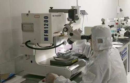
Starts from the Best Quality
All products from SkyMEMS have passed the strictest tests and quality control, we cherish the quality as the life of the company, and we try our best to provide the highest level quality products and systems. - Application

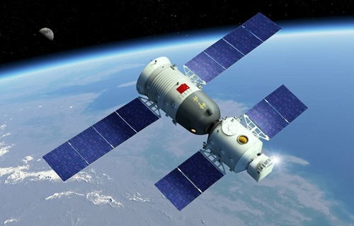
Widely Applied in Different Fields
SkyMEMS is dedicated to providing the reliable and cost-effective solutions in different application fields for global customers, and we can provide customer-oriented design for specific projects.
- Support

SkyMEMS Full Support with Heart
We provide comprehensive support for your business growth, including online assistance, local support, document sharing, downloads, inertial technology online library and more. - Contact Us

SkyMEMS is Beside You!
SkyMEMS has branches and partners around the world, if you have any questions or need technical support, we will provide u warm and fast service with heart, and 24 hour technical support hotline is available. - News


