

Navigation system in our life is not unfamiliar, it is because of its existence, so many people who do not have a strong sense of direction can accurately find the direction, and GPS positioning system, it is easy to find a person or a place location, so GPS navigation system in the field of life is also relatively large role, today will teach you easy to understand what is embedded gps inertial navigation system.
What is embedded gps inertial navigation system
Inertial system
What is embedded gps inertial navigation system? The difference between the two is that one is for the line movement, and the other is for the angle movement, the difference between the two types will also lead to differences in the parameters of navigation, so the system shown will be different.
Inertial Navigation
Inertial navigation is the use of the system gyroscope and acceleration sensor two components, to identify the aircraft in the inertial space generated by the angular motion information and line movement information, and in the initial conditions to achieve the purpose of navigation, so as to reduce the existence of errors, and stability and accuracy is also relatively high, in the use of the process, can accurately identify the orientation, improve the data update rate.
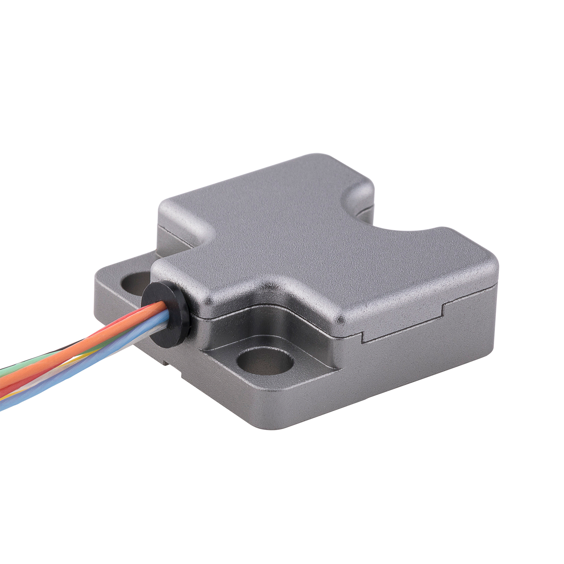
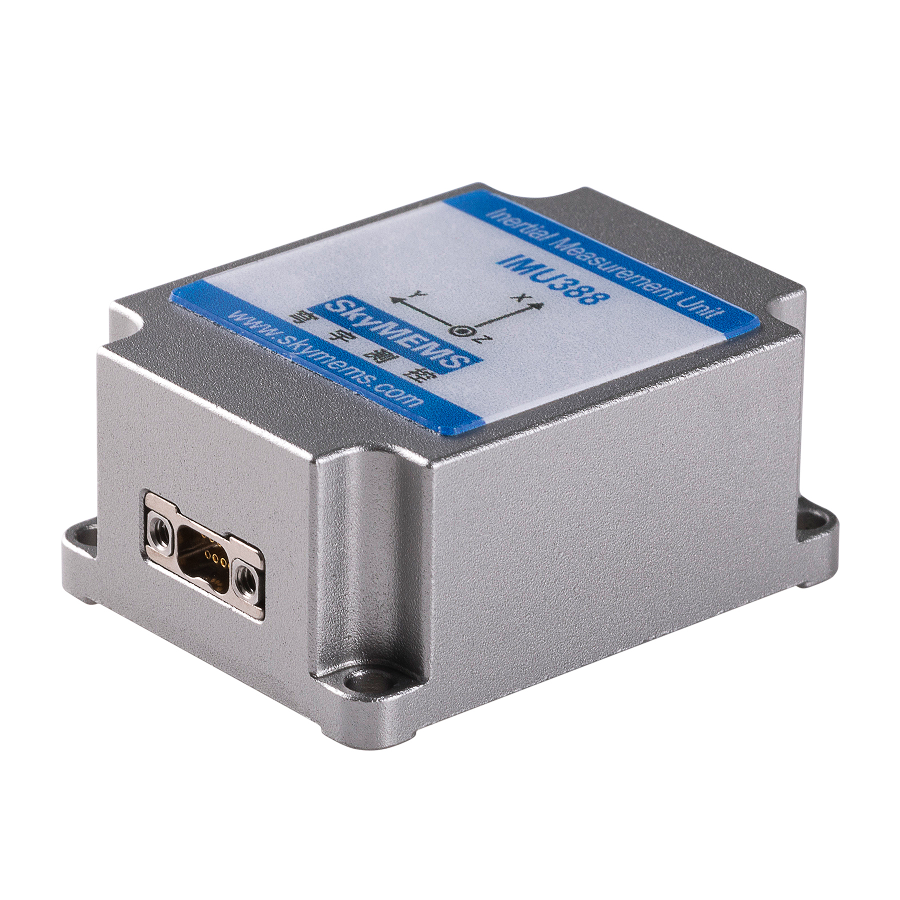
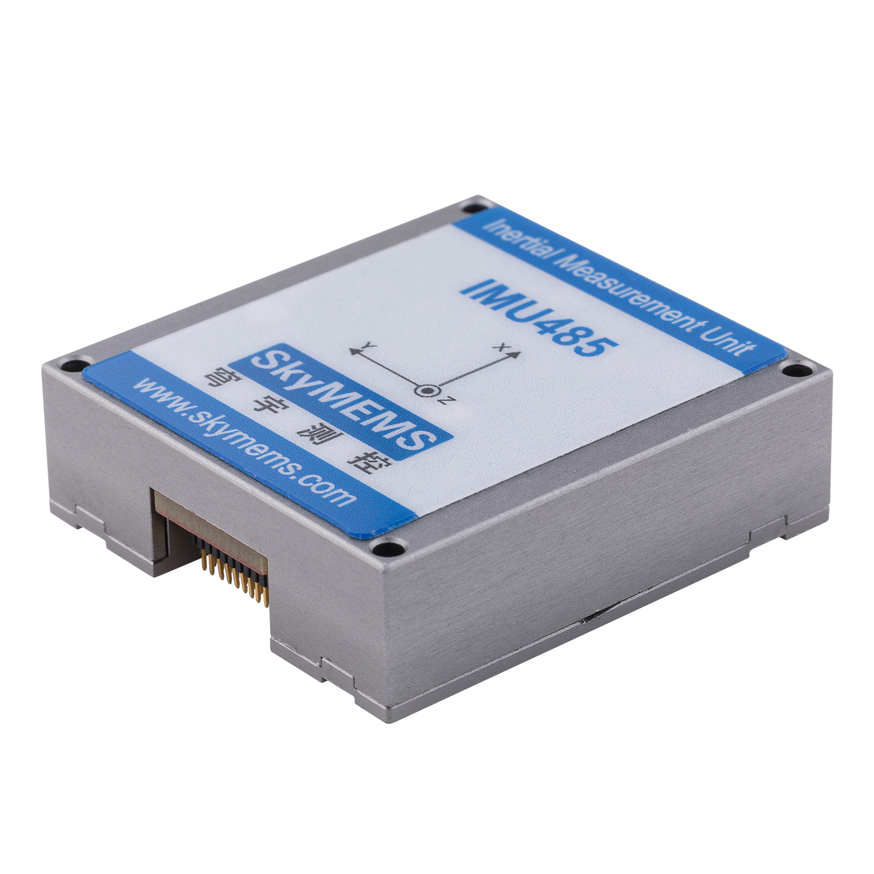
Embedded gps inertial navigation system
Embedded gps inertial navigation system belongs to the equipment that does not need to rely on external information, no need to transmit energy navigation system, its concealment is relatively high, in use also do not have to worry about the outside interference, can provide accurate data, and the data update rate is also relatively high, in a short period of time to ensure the accuracy of data, stability is also particularly good. However, after a long period of time, there will be some errors in the navigation, which is also a disadvantage of the inertial navigation system.
Application areas of inertial navigation systems
Aeronautics
In the field of aviation, the accuracy of the position is quite high, after all, the air flight, can not determine the specific location, only through the navigation to confirm, so a more accurate navigation system, can provide more accurate data, and embedded gps inertial navigation system is perfect to achieve this point, in the field of aviation to help pilots accurately determine the location and unexpected situations, so as to guarantee the safety of flight.
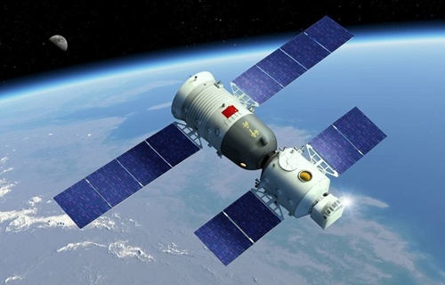
Satellite communication
Used as a tracking system in the satellite, can easily measure the attitude angle as well as the dimension of the carrier, and also can accurately obtain the information of the carrier, including geographic location can be easily collected, which is more friendly to find some places, or to come to the geographic situation, and it is also the existence of some advantages, so that the satellite in the detection of the time, can obtain accurate data.
Car navigation
At present, many car brands have launched driverless cars exist, and driverless cars are relatively high requirements for navigation, not only need to quickly transmit the current location at any time, but also to protect the accuracy of the data, so that the car in driving, can successfully avoid the existence of accidents, so in order to ensure the reliability of navigation, businesses will also carry embedded gps inertial navigation system to ensure the car’s driverless function is more secure.
The advantages of navigation system
Embedded gps inertial navigation system from China factory is fully functional
Embedded gps inertial navigation system can quickly calibrate the orientation in the process of use, also can automatically set the parameters, so as to avoid a lot of time wasted, in the use of the fault detection, so that users do not have any worries in the use, in fact, its navigation function is also quite perfect, can accurately export the location you want to go, accurate alignment, and avoid problems.
Free from outside interference
Inertial navigation system in use, is not subject to any external information interference, concealment is also particularly high, at any time and place will not be interfered by the magnetic field, can effectively guarantee the accuracy of navigation data, working place will not be restricted, such as in the air or underwater, can work normally.
Strong stability with China gps inertial navigation system
The stability of embedded gps inertial navigation system is quite strong, the frequency of data update is also quite concave, in use, can grasp the real-time situation in time, will not be affected by the data problems that lead to the trip, and in use can also provide accurate location and perfect data, the continuity of the navigation information is also better, basically no noise situation. This is more friendly to the user.
Through the above information, the embedded gps inertial navigation system is not a certain understanding of it, in fact, the use of this navigation system is also relatively long, you can achieve the ability to navigate independently throughout the day, in use will not be because of the long use of data abnormalities, you can rest assured that the use of bold, accurate data sent and received, can be accurate for the user to determine the route situation.