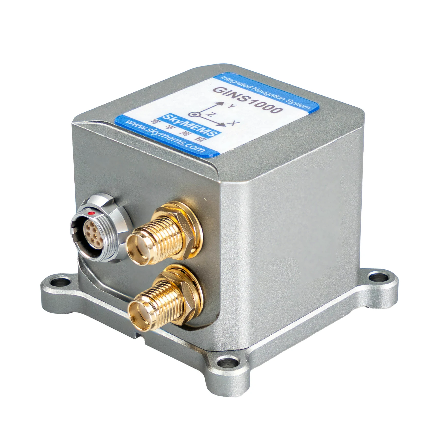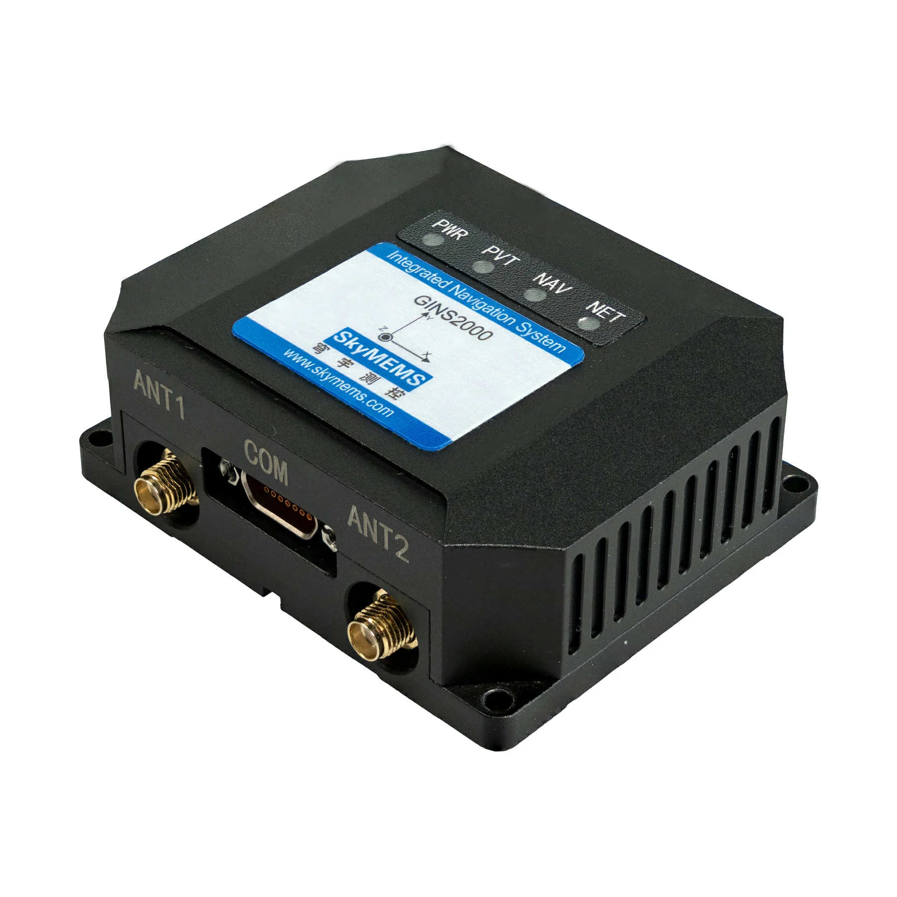

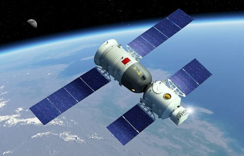


Quick Answer: IMU stands for inertial measurement unit, which is an integrated sensor system that measures linear acceleration, angular velocity, and, in many cases, magnetic heading. It does this by combining accelerometers, gyroscopes and optional magnetometers. Rather than relying solely on external positioning signals, an IMU continuously detects changes in motion and orientation. This makes it a core component in navigation systems, robotics, drones, autonomous vehicles, industrial automation and aerospace systems.
IMUs are fundamental to modern motion sensing and provide the inertial data required for high-precision positioning, stabilisation, and control, as outlined in Paul D. Groves’ Principles of GNSS, Inertial, and Multisensor Integrated Navigation Systems, Titterton & Weston’s Strapdown Inertial Navigation Technology, and the IEEE Sensors Handbook.
Introduction
Motion sensing technology has become an integral component of modern intelligent systems. From guiding autonomous vehicles through city streets to stabilising drones in turbulent winds and enabling smartphones to rotate their displays automatically, accurate motion measurement forms the basis of reliable system performance. At the heart of this technology is the Inertial Measurement Unit (IMU), one of the most important sensing technologies developed for navigation and orientation measurement.
Originally designed for military and aerospace navigation, IMUs have evolved dramatically over the past few decades. Advances in Micro-Electro-Mechanical Systems (MEMS) manufacturing have reduced sensor size, cost and power consumption, while improving reliability. Consequently, IMUs are now found in countless commercial products, ranging from wearable fitness devices and industrial robots to autonomous agricultural machinery and advanced surveying equipment.
With the ongoing expansion of Industry 4.0, intelligent transportation and autonomous systems, an understanding of what an IMU is and how it works is becoming increasingly valuable for engineers, product designers, system integrators and technology buyers. This article explains what an IMU is, how it works, and why it remains indispensable in modern sensor technology.
What Does IMU Mean?
An inertial measurement unit (IMU) is an electronic device that measures and reports an object’s movement by detecting acceleration, rotational motion, and, in some configurations, magnetic orientation. Unlike positioning systems that depend on external infrastructure, such as satellites or radio signals, an IMU operates independently, continuously measuring changes in motion through internal sensors.
The primary purpose of an IMU is to provide real-time motion information to enable electronic systems to estimate orientation, stabilise movement and support navigation algorithms. As the measurements are generated internally, IMUs can continue to function even when GPS signals are unavailable or interrupted.
Depending on the application, an IMU may support functions such as:
- Orientation estimation
- Motion tracking
- Angular rate measurement
- Vehicle stabilisation
- Dead reckoning navigation
- Attitude control
- Vibration monitoring
- Platform stabilisation
In advanced navigation systems, IMUs are often integrated with GNSS receivers, LiDAR, cameras or odometers to create highly accurate positioning solutions capable of operating in complex environments where a single sensor technology would be insufficient.
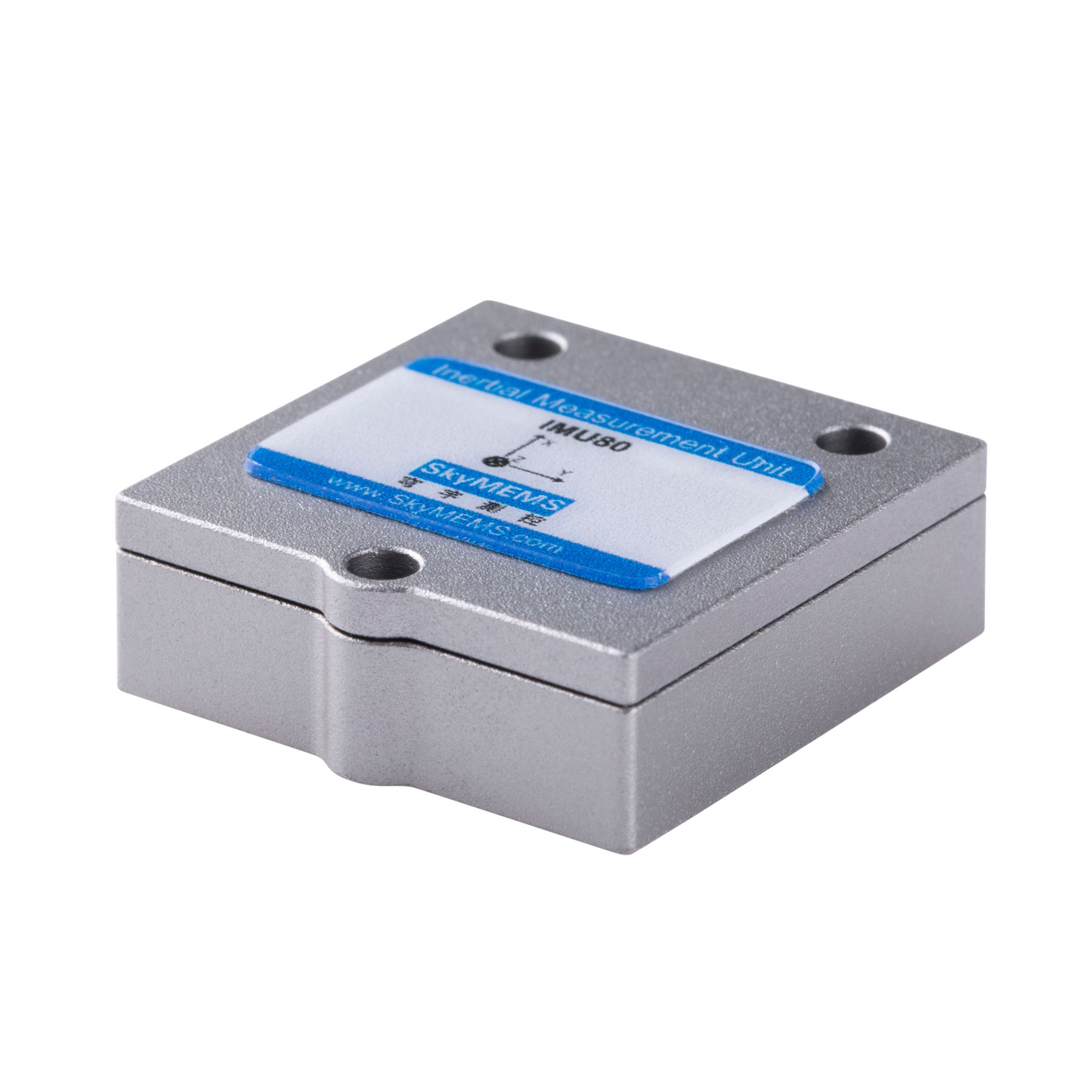
Main Components of an IMU
Although IMUs vary in complexity, most modern units consist of three primary sensing elements that work together to provide comprehensive motion information.
Accelerometer
An accelerometer measures linear acceleration along one or more axes. Modern IMUs typically include three orthogonal accelerometers, allowing acceleration to be measured simultaneously along the X, Y, and Z directions.
Acceleration measurements serve several important purposes. They allow systems to detect movement, estimate velocity changes, identify vibration, and determine the direction of gravity when the sensor is stationary. Gravity measurement is particularly useful for calculating pitch and roll angles.
Accelerometers are widely used in:
- Vehicle dynamics
- Structural monitoring
- Mobile phones
- Wearable electronics
- Robotics
- Industrial automation
Because acceleration data may include vibration and environmental noise, filtering algorithms are commonly applied before further processing.
Gyroscope
The gyroscope measures angular velocity, indicating how quickly an object rotates around each axis.
Unlike an accelerometer, which responds to changes in linear motion, the gyroscope continuously tracks rotational movement. By integrating angular velocity over time, control systems can estimate changes in orientation with high responsiveness.
Gyroscopes are especially valuable in applications requiring precise attitude control, including:
- Aircraft flight control
- Drone stabilization
- Autonomous navigation
- Satellite attitude determination
- Camera gimbal stabilization
- Marine navigation
High-performance gyroscopes typically exhibit lower bias drift and improved long-term stability, characteristics that directly influence navigation accuracy.
Magnetometer (Optional)
Many IMUs include a three-axis magnetometer that measures the Earth’s magnetic field.
The magnetometer functions as an electronic compass, providing an absolute heading reference that complements the relative measurements generated by the gyroscope. By correcting accumulated gyroscope drift, the magnetometer improves long-term orientation accuracy, particularly in outdoor environments.
However, magnetic measurements can be influenced by nearby ferromagnetic materials, electrical equipment, or electromagnetic interference. Consequently, many industrial systems combine magnetometer data with advanced sensor fusion algorithms to improve robustness.
Applications that frequently benefit from magnetometers include:
- Mobile mapping
- Consumer electronics
- Robotics
- Surveying equipment
- Autonomous vehicles
- Marine navigation
How Does an IMU Work?
Although the individual sensors inside an IMU perform different measurements, their true value comes from working together as a coordinated system.
When an object begins to move, the accelerometers detect changes in linear acceleration while the gyroscopes simultaneously measure rotational motion. If present, the magnetometer continuously monitors the Earth’s magnetic field to establish directional reference.
These multiple sensor outputs are processed by embedded algorithms using techniques such as sensor fusion. Popular approaches include complementary filters, Kalman filters, and extended Kalman filters, which combine measurements from different sensors while compensating for each sensor’s limitations.
For example:
- Accelerometers provide stable long-term gravity reference but are sensitive to vibration.
- Gyroscopes provide fast rotational response but gradually accumulate drift.
- Magnetometers provide absolute heading but may be affected by magnetic interference.
By intelligently combining these measurements, the IMU produces highly reliable estimates of orientation and movement that are significantly more accurate than any individual sensor could achieve independently.
This integrated approach enables IMUs to maintain accurate attitude information during rapid maneuvers, changing environmental conditions, and temporary loss of external navigation signals.
Sensor Components Overview
| Sensor | Measures | Typical Unit | Primary Purpose |
| Accelerometer | Linear acceleration | m/s² or g | Detect movement, vibration, and gravity |
| Gyroscope | Angular velocity | °/s or rad/s | Measure rotational motion |
| Magnetometer | Magnetic field strength | μT (microtesla) | Determine heading and orientation reference |
Each sensing element contributes unique information, and together they enable the IMU to provide comprehensive motion awareness for a wide range of navigation and control systems.
IMU vs. INS vs. GNSS: What Is the Difference?
Although the terms ‘IMU’, ‘INS’ (Inertial Navigation System), and ‘GNSS’ (Global Navigation Satellite System) are sometimes used interchangeably, they refer to different technologies that complement each other in navigation.
An IMU (Inertial Measurement Unit) is a sensing device that measures motion and orientation. By itself, however, it cannot calculate absolute geographic position over long periods because small measurement errors accumulate through integration. An INS builds upon the IMU by combining inertial measurements with navigation algorithms to continuously estimate position, velocity and attitude. GNSS, on the other hand, determines location by receiving signals from satellite constellations such as GPS, Galileo, GLONASS and BeiDou.
Each technology has unique strengths and limitations. GNSS provides excellent long-term positioning accuracy in open environments, but it can be affected by signal blockage in tunnels, dense urban areas, forests or indoor locations. IMUs continue to measure motion regardless of satellite availability, but they gradually accumulate drift. Modern navigation systems therefore integrate IMU and GNSS data through sensor fusion, enabling the strengths of one technology to compensate for the weaknesses of the other.
This combination has become the preferred architecture for autonomous driving, precision agriculture, mobile mapping, surveying and unmanned aerial systems.
MEMS IMU Technology: Driving Modern Motion Sensing
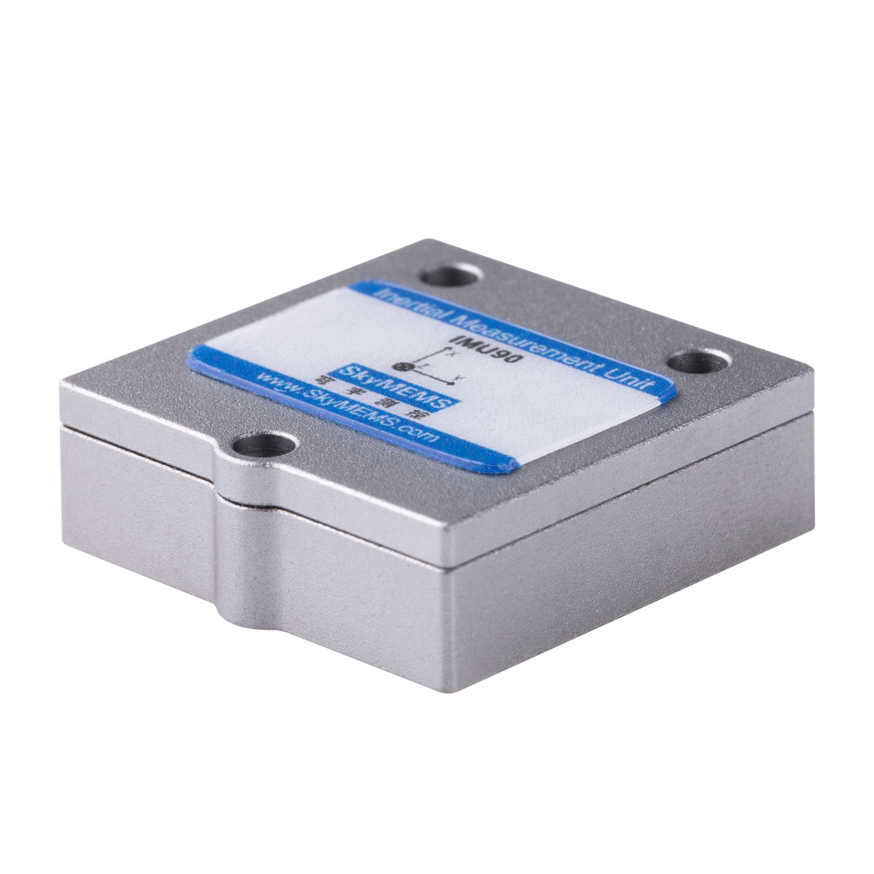
The widespread adoption of IMUs has been made possible by advances in Micro-Electro-Mechanical Systems (MEMS) technology. Traditional navigation-grade inertial sensors were large, expensive, and primarily reserved for aerospace or defense applications. MEMS manufacturing has dramatically reduced sensor size while improving production efficiency and affordability.
A MEMS IMU integrates microscopic mechanical structures and electronic circuits onto semiconductor chips. Despite their compact dimensions, these sensors can deliver reliable measurements suitable for numerous commercial and industrial applications.
Key advantages of MEMS IMUs include:
- Compact size for space-constrained designs
- Low power consumption for battery-powered devices
- High production consistency
- Cost-effective manufacturing
- High shock and vibration resistance
- Easy integration into embedded systems
Continuous improvements in MEMS fabrication, temperature compensation, and calibration algorithms have significantly enhanced the performance of modern IMUs, enabling their use in applications that previously required much larger inertial systems.
Where Are IMUs Used?
The versatility of an IMU makes it one of the most widely deployed sensor technologies across multiple industries.
Aerospace and Aviation
Aircraft rely on IMUs for attitude determination, flight stabilization, and navigation. Even when satellite signals are temporarily unavailable, inertial measurements allow flight control systems to maintain stable operation.
Autonomous Vehicles
Self-driving vehicles continuously combine IMU, GNSS, LiDAR, radar, and camera data to estimate vehicle position and orientation with high precision. The IMU provides rapid motion updates between satellite measurements, improving navigation reliability during acceleration, braking, and cornering.
Robotics and Industrial Automation
Industrial robots use IMUs to monitor arm orientation, stabilize movement, and improve positioning accuracy. Autonomous mobile robots (AMRs) also depend on inertial sensing to navigate warehouses and production facilities.
Drones and UAVs
Without an IMU, modern drones could not maintain stable flight. Accelerometers and gyroscopes continuously detect changes in attitude, allowing flight controllers to adjust motor speeds and maintain balance under changing wind conditions.
Marine Navigation
Ships and offshore platforms use IMUs for vessel stabilization, dynamic positioning, and navigation in environments where wave motion can interfere with traditional measurement methods.
Consumer Electronics
Smartphones, wearable devices, gaming controllers, virtual reality headsets, and fitness trackers all incorporate compact MEMS IMUs to support motion detection, screen rotation, gesture recognition, and activity monitoring.
How to Choose the Right IMU?
Selecting an IMU involves more than comparing specifications. Engineers should evaluate application requirements, operating environments, and long-term performance objectives.
Important selection criteria include:
- Measurement accuracy: Lower bias instability and lower noise improve precision.
- Dynamic range: Ensure acceleration and angular velocity limits match expected operating conditions.
- Sampling rate: Higher update frequencies are essential for high-speed control systems.
- Temperature stability: Wide operating temperature ranges improve outdoor performance.
- Power consumption: Low-power IMUs extend battery life in portable equipment.
- Environmental durability: Shock, vibration, and ingress protection should align with application demands.
- Communication interfaces: Common interfaces include SPI, UART, CAN, and Ethernet.
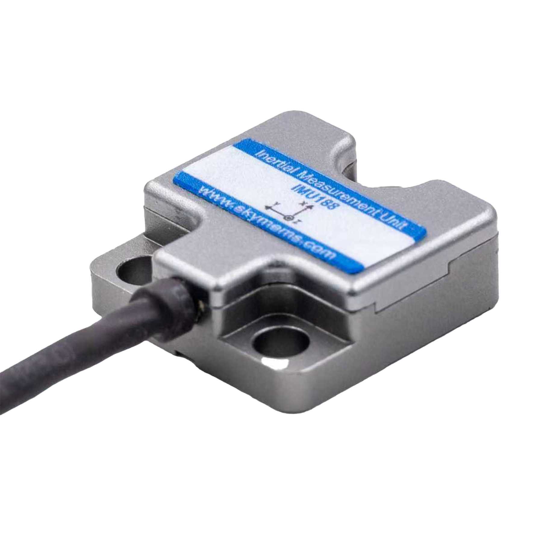
While evaluating inertial sensing solutions for demanding navigation projects, we at SkyMEMS have found that careful matching of IMU performance, environmental robustness, and system integration requirements often delivers better long-term results than selecting a sensor solely on maximum accuracy specifications.
IMU, INS, and GNSS Comparison
| Technology | Primary Function | Advantages | Limitations | Typical Applications |
| IMU | Measures acceleration and angular velocity | Fast response, independent of satellites | Position drift over time | Robotics, drones, stabilization |
| INS | Calculates position, velocity, and attitude using inertial data | Continuous navigation | Accuracy decreases without external correction | Aerospace, marine, defense |
| GNSS | Determines geographic position using satellites | Excellent long-term positioning accuracy | Signal blockage and interference | Surveying, mapping, transportation |
| GNSS + IMU Integration | Combines satellite positioning with inertial sensing | High accuracy and robust navigation | Higher system complexity | Autonomous vehicles, mobile mapping, precision agriculture |
Frequently Asked Questions (FAQ)
- What does IMU stand for?
IMU stands for Inertial Measurement Unit, a sensor system that measures linear acceleration, angular velocity, and, in many cases, magnetic heading to determine motion and orientation.
- What sensors are inside an IMU?
A standard IMU includes three-axis accelerometers and three-axis gyroscopes. Many models also incorporate a three-axis magnetometer to provide heading information.
- Is an IMU the same as GPS?
No. GPS (or GNSS) determines geographic location using satellites, while an IMU measures motion internally. Many navigation systems combine both technologies to improve accuracy and reliability.
- Why is sensor fusion important for IMUs?
Sensor fusion combines data from accelerometers, gyroscopes, magnetometers, and external positioning systems to reduce measurement errors, compensate for drift, and improve orientation estimation.
- Where are IMUs commonly used?
IMUs are widely used in drones, autonomous vehicles, robotics, aircraft, marine navigation, smartphones, wearable electronics, industrial automation, and surveying equipment.
- How accurate are modern MEMS IMUs?
Modern MEMS IMUs can provide excellent performance for many commercial and industrial applications. Accuracy depends on sensor grade, calibration quality, operating environment, and whether the IMU is integrated with complementary technologies such as GNSS.
Conclusion
The Inertial Measurement Unit (IMU) has evolved from a specialised aerospace technology to become one of the most important sensing components in modern intelligent systems. By continuously measuring acceleration and rotational motion, IMUs provide the real-time awareness of motion required for navigation, stabilisation, control and positioning in a range of industries, including robotics, autonomous transportation, consumer electronics and precision manufacturing.
While an IMU alone cannot provide long-term absolute positioning due to cumulative drift, its value increases significantly when integrated with GNSS, INS and other complementary sensors via advanced sensor fusion algorithms. This integrated approach enables reliable operation in challenging environments where satellite signals are weak, intermittent, or unavailable.
As MEMS technology advances, IMUs are becoming smaller, more accurate and more energy efficient, creating new opportunities for next-generation autonomous systems and smart devices. Understanding how IMUs work, how they differ from INS and GNSS, and how to select the appropriate sensor solution enables engineers and technology decision-makers to develop navigation and motion control systems offering higher accuracy, greater reliability and long-term operational performance.