

Abstract:
Modern autonomous systems depend significantly on sophisticated sensing technologies to perceive motion and surroundings at the same time. Inertial Measurement Units (IMU) and Light Detection and Ranging (LiDAR) are two of the most crucial technologies in this field.
Research published in the Journal of Field Robotics and the IEEE Transactions on Robotics indicates that combining IMU and LiDAR has become a key method in robotics, autonomous vehicles, UAV navigation, and mapping systems because each technology offsets the weaknesses of the other.
IMUs provide high-frequency motion data through accelerometers and gyroscopes, while LiDAR offers accurate three-dimensional spatial mapping using laser pulses.
Research like “LiDAR-Inertial Odometry for Autonomous Systems” (Shan & Englot, IEEE Robotics, 2018) shows that integrating IMU motion sensing with LiDAR environmental perception significantly enhances navigation accuracy and robustness in complex environments.
While IMUs are excellent at measuring motion dynamics and orientation, LiDAR offers accurate distance measurements and 3D point clouds for environmental modeling. Recognizing the differences between these technologies is crucial for engineers, robotics developers, and autonomous system designers aiming to enhance navigation performance.
This article offers a thorough analysis of IMU technology, LiDAR sensing, their operating principles, applications, benefits, limitations, and integration strategies employed in contemporary intelligent systems.
Introduction IMU and LiDAR
In recent years, the advancement of autonomous technologies has rapidly accelerated across various industries such as robotics, transportation, defense, agriculture, and mapping. Autonomous systems need to constantly assess two main aspects of their operation: their own movement and the environment around them. To achieve this, engineers depend on various sensors, with IMU and LiDAR being particularly important.
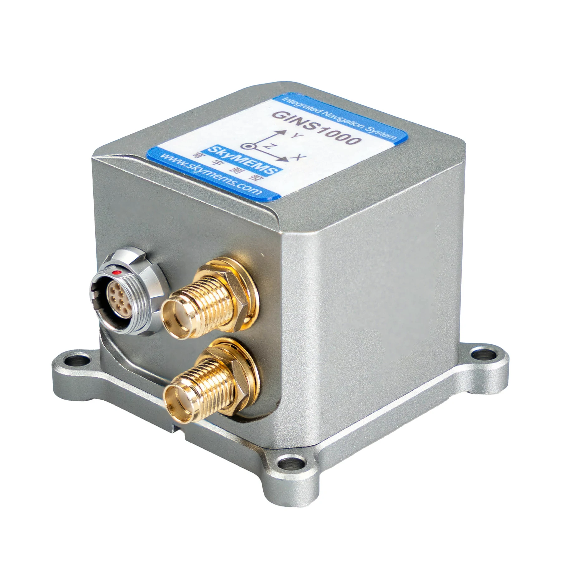
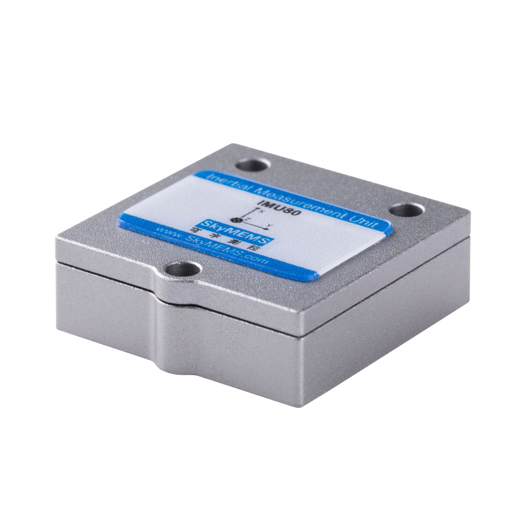
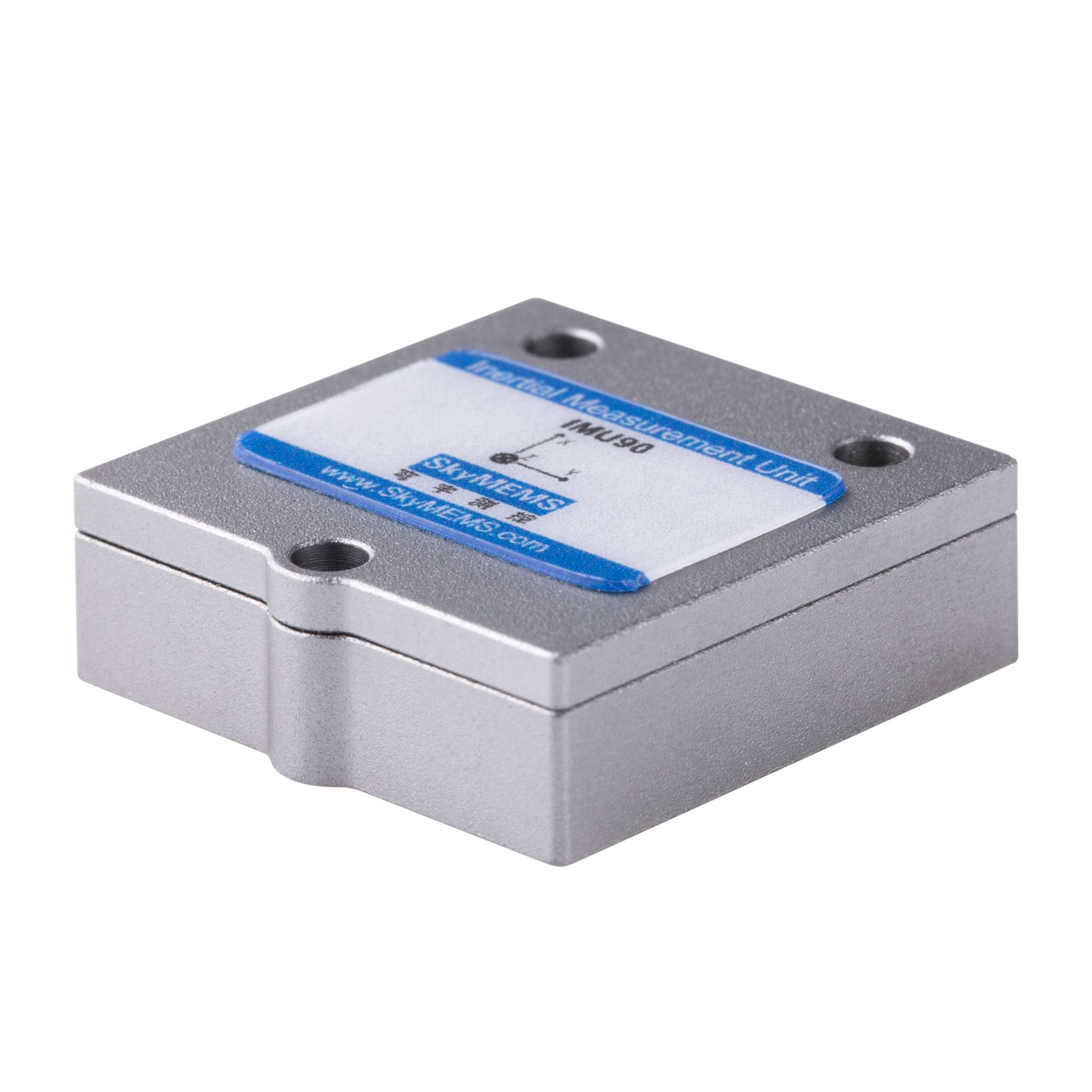
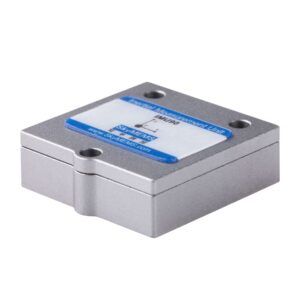
An IMU (Inertial Measurement Unit) is a sensor system created to measure motion, orientation, and acceleration. It usually includes accelerometers, gyroscopes, and sometimes magnetometers, which collectively offer real-time information about an object’s movement. IMUs are commonly utilized in navigation systems, drones, robotics, and smartphones.
In contrast, LiDAR (Light Detection and Ranging) is a remote sensing technology that employs laser pulses to determine distances between the sensor and nearby objects. By quickly emitting and capturing laser reflections, LiDAR is capable of creating highly precise three-dimensional representations of the environment.
Although both technologies aid in navigation and perception, they have fundamentally different functions. IMUs track internal motion dynamics, whereas LiDAR captures external environmental geometry. In contemporary intelligent systems, these sensors are often integrated to enable precise localization and mapping.
Understanding the differences between IMU and LiDAR is essential for selecting the right technology for specific applications and designing efficient sensor fusion systems.
What is an IMU?
An IMU (Inertial Measurement Unit) is an electronic device that detects and reports an object’s velocity, orientation, and gravitational forces. These measurements enable systems to monitor motion without depending on external references like GPS signals.
IMUs function based on inertial navigation principles, which determine movement by measuring acceleration and rotational motion over time. The device typically comprises several key components that work together to produce precise motion data.

Core Components of an IMU
| Component | Function | Measurement Type |
| Accelerometer | Measures linear acceleration | m/s² |
| Gyroscope | Measures angular velocity | rad/s or °/s |
| Magnetometer | Detects Earth’s magnetic field | orientation reference |
| Processor | Sensor fusion calculations | motion estimation |
Accelerometers identify variations in velocity across various axes, enabling the system to assess translational movement. Gyroscopes gauge rotational movement and assist in maintaining orientation tracking.
Magnetometers offer heading data relative to Earth’s magnetic field, enhancing navigation precision.
Modern IMUs often include three-axis sensors for each measurement type, enabling precise tracking across three-dimensional space.
How IMUs Work?
IMUs function by constantly measuring acceleration and rotation. The internal processor combines these measurements over time to determine position, velocity, and orientation.
The process can be summarized as follows:
- Motion Detection
Accelerometers identify variations in velocity along the X, Y, and Z axes.
- Rotation Measurement
Gyroscopes monitor angular velocity and rotational motion.
- Sensor Fusion Algorithms
Data from multiple sensors are combined using filtering techniques such as Kalman filters.
- Position Estimation
The system integrates acceleration data to estimate velocity and displacement.
However, IMUs can experience sensor drift, which causes minor measurement errors to build up over time, resulting in greater positional inaccuracies. Therefore, IMUs are frequently integrated with external sensors such as LiDAR, cameras, or GPS to ensure precise positioning.
What is LiDAR?
LiDAR (Light Detection and Ranging) is a remote sensing technology that uses laser light to measure distances. The system sends out laser pulses toward nearby objects and records the time it takes for the reflected light to return.
LiDAR employs the time-of-flight principle to determine distances with very high precision, often within centimeters. By quickly scanning a broad area, LiDAR sensors produce detailed 3D point clouds that depict the environment around them.
These point clouds allow systems to detect obstacles, build maps, and navigate complex environments.
How LiDAR Works?
The operation of LiDAR involves several key steps:
- Laser Emission
The LiDAR unit emits rapid pulses of laser light.
- Reflection Detection
When the laser hits an object, it reflects back toward the sensor.
- Time Measurement
The system calculates the time required for the laser to return.
- Distance Calculation
Distance is determined using the speed of light.
- Point Cloud Generation
Millions of points are recorded to build a 3D representation of the environment.
IMU vs LiDAR: Key Differences
Although both technologies contribute to navigation systems, their functions and capabilities differ significantly.
| Feature | IMU | LiDAR |
| Primary Function | Motion tracking | Environmental mapping |
| Data Type | Acceleration & rotation | 3D spatial distance |
| Operating Principle | Inertial sensing | Laser time-of-flight |
| Accuracy Over Time | Drift increases | Stable distance measurement |
| Data Frequency | Very high (hundreds Hz to kHz) | Moderate scanning frequency |
| Environmental Awareness | None | High-resolution mapping |
The most fundamental difference is that IMU senses movement, while LiDAR senses surroundings.
Advantages of IMU Technology
IMU sensors offer several advantages that make them indispensable in motion tracking systems.
- High-Speed Data Output
IMUs provide extremely high update rates, often exceeding 1000 Hz, enabling precise motion tracking in dynamic systems.
- Independence from External Signals
Unlike GPS or vision-based systems, IMUs function without external references, making them ideal for indoor or underground environments.
- Compact Size
Modern MEMS IMUs are extremely small and lightweight, allowing integration into drones, smartphones, and wearable devices.
- Low Power Consumption
Compared to many external sensors, IMUs consume relatively little power, which is crucial for mobile systems.
Advantages of LiDAR Technology
LiDAR offers distinctive features that are crucial for perceiving the environment.
- Accurate Distance Measurement
LiDAR sensors can determine distances with centimeter precision, allowing for accurate mapping.
- Comprehensive 3D Mapping
The created point clouds offer detailed depictions of the environment for obstacle detection and navigation.
- Excellent Performance in Low Light Conditions
Unlike cameras, LiDAR does not depend on ambient lighting.
- Large Coverage Area
Modern LiDAR sensors can scan hundreds of meters and millions of points per second.
Applications of IMU Technology
IMUs are extensively utilized in various industries that require motion tracking.
- Aerospace and Aviation
IMUs are essential for inertial navigation in aircraft and spacecraft when GPS signals cannot be accessed.
- Autonomous Vehicles
Self-driving cars depend on IMUs to monitor movement during sensor update intervals.
- Robotics
Robots utilize IMUs to keep their balance, determine orientation, and control their trajectory.
- Consumer Electronics
Smartphones and gaming devices use IMUs for gesture recognition and screen orientation.
Applications of LiDAR Technology
LiDAR has emerged as a crucial sensing technology for environmental mapping.
- Autonomous Driving
LiDAR enables vehicles to identify obstacles, pedestrians, and road features.
- Surveying and Mapping
Engineers utilize LiDAR to generate detailed terrain models.
- Forestry and Environmental Monitoring
LiDAR assists in measuring forest canopy formations and vegetation density.
- Archaeology
Researchers employ LiDAR to uncover concealed structures beneath plant cover.
IMU and LiDAR Integration
In modern navigation systems, IMU and LiDAR are often combined through sensor fusion.
The IMU offers ongoing motion estimation, whereas LiDAR regularly adjusts for drift errors by referencing environmental features.
This combination enables systems to attain both rapid motion tracking and precise localization.
IMU vs LiDAR Data Fusion Benefits
| Benefit | Explanation |
| Drift Reduction | LiDAR corrects IMU accumulated errors |
| High-Frequency Motion Tracking | IMU fills gaps between LiDAR scans |
| Robust Navigation | The combined system works in diverse environments |
| Improved Mapping Accuracy | Motion compensation improves point cloud quality |
Future Trends in IMU and LiDAR Technology
The future of navigation and perception systems will probably feature more advanced integration of IMU and LiDAR technologies.
Emerging developments consist of:
- Solid-state LiDAR sensors that are more affordable and more reliable
- AI-powered sensor fusion algorithms
- Ultra-low-noise MEMS IMUs
- Edge computing for real-time mapping
These advancements will enable more accurate and reliable autonomous systems across industries.
FAQ: IMU and LiDAR
- What is the main difference between IMU and LiDAR?
The main difference is that IMU measures motion and orientation, while LiDAR measures distances to surrounding objects and creates 3D maps.
- Can IMU replace LiDAR?
No. IMUs cannot detect environmental objects or obstacles. They only measure motion.
- Why are IMU and LiDAR used together?
Combining IMU and LiDAR improves localization accuracy because IMUs provide high-frequency motion data while LiDAR provides environmental references.
- Which sensor is more accurate?
LiDAR provides more accurate spatial measurements, while IMU provides accurate motion dynamics.
- Do autonomous cars use both IMU and LiDAR?
Yes. Most advanced autonomous vehicles use multiple sensors, including IMU, LiDAR, cameras, and radar.
Conclusion
IMU and LiDAR technologies serve complementary functions in contemporary sensing and navigation systems. Although IMUs focus on capturing motion dynamics like acceleration and orientation, LiDAR is particularly effective at detecting the environment around us through accurate distance measurements and 3D mapping.
Each technology has its own limitations—IMUs experience long-term drift, and LiDAR can be affected by environmental conditions or require high processing power.
Nevertheless, when combined using advanced sensor fusion algorithms, they create a robust system that allows for precise localization, mapping, and navigation.
The rapid expansion of autonomous technologies—from self-driving vehicles and drones to robotics and smart infrastructure—has significantly increased the demand for reliable sensing solutions.
In these systems, IMU offers continuous motion tracking at very high frequencies, while LiDAR provides detailed environmental information that corrects positional errors and improves situational awareness. Together, they enable machines to comprehend both their movement and their location in space, which is essential for safe and efficient autonomous functioning.
Looking ahead, advancements in MEMS sensor technology, the development of solid-state LiDAR, and AI-powered sensor fusion algorithms will enhance the collaboration between these two technologies.
As expenses decline and capabilities increase, IMU-LiDAR integration will expand further into sectors like transportation, geospatial mapping, industrial automation, and aerospace.
For engineers, researchers, and system designers, it is essential to understand the differences between IMU and LiDAR when developing advanced navigation systems. Choosing the appropriate sensor combination and integrating them efficiently will continue to be crucial for creating reliable, accurate, and intelligent autonomous systems in the future.